Guidebook Gunkholing
July 25
Gunkholing is a term that refers to exploring smaller, less visited, often less charted bays and harbours. As this applies to much of Labrador, in addition to our nautical charts, we often download a google earth picture of the ‘gunkhole’ in the hopes that it provides more details of the surrounding shore eg. depth, rocky outcrops.
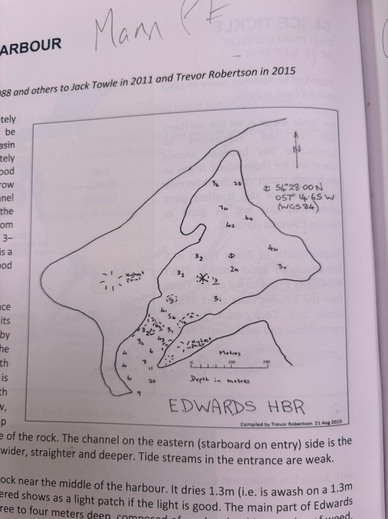
Luckily, prior sailors have done this. The Cruising Club of America (CCA) Guide to Labrador (which we use extensively) is compiled by sailors/boaters and all inputs to the guide come from sailors that have been there (with annotations sometimes dating back to the 1980’s).
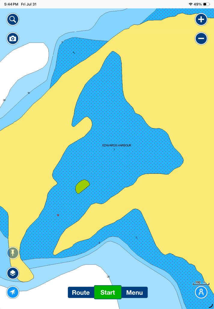
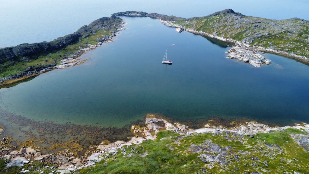
The picture below on the left is what we see in our nautical charts, but the picture on the right came out of the CCA Labrador Guide, where, in 2015 a sailor had charted this small bay using a handheld depth meter. The following picture is the drone pic. I am not sure we would have explored Edwards Harbour without this additional info. Being more confident in ourselves and the boat, we pumped up the keel and cautiously entered this glorious, small, protected harbour. It has turned out to be a highlight of the trip so far.
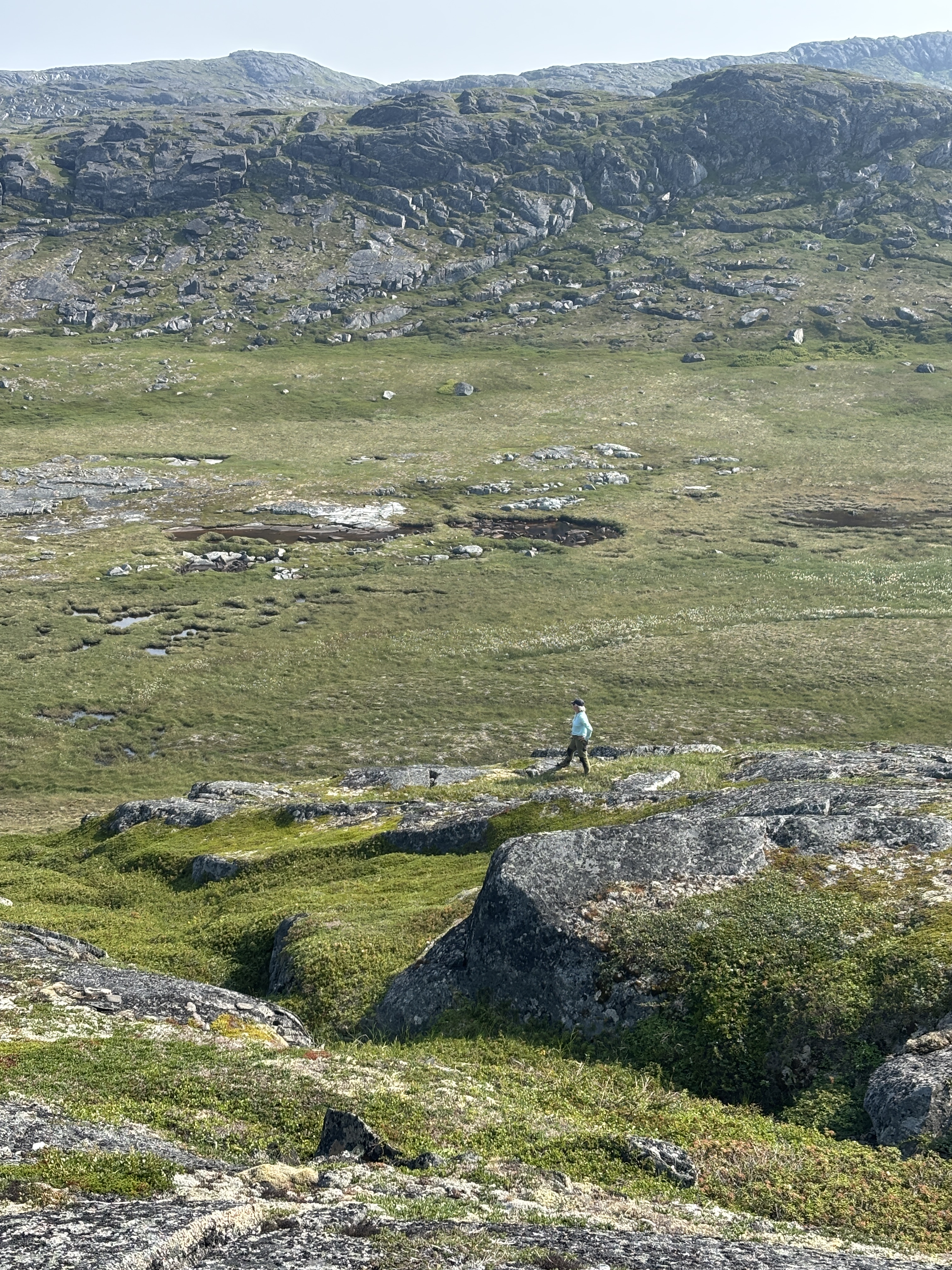
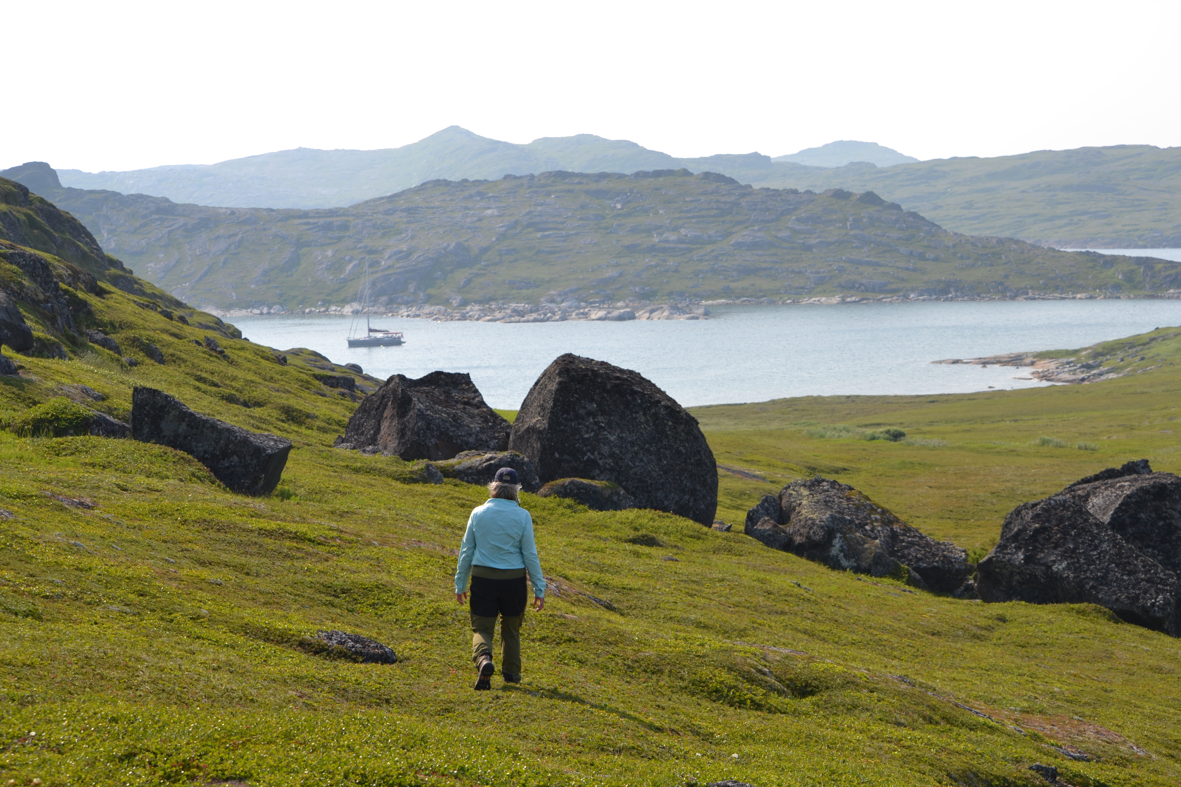
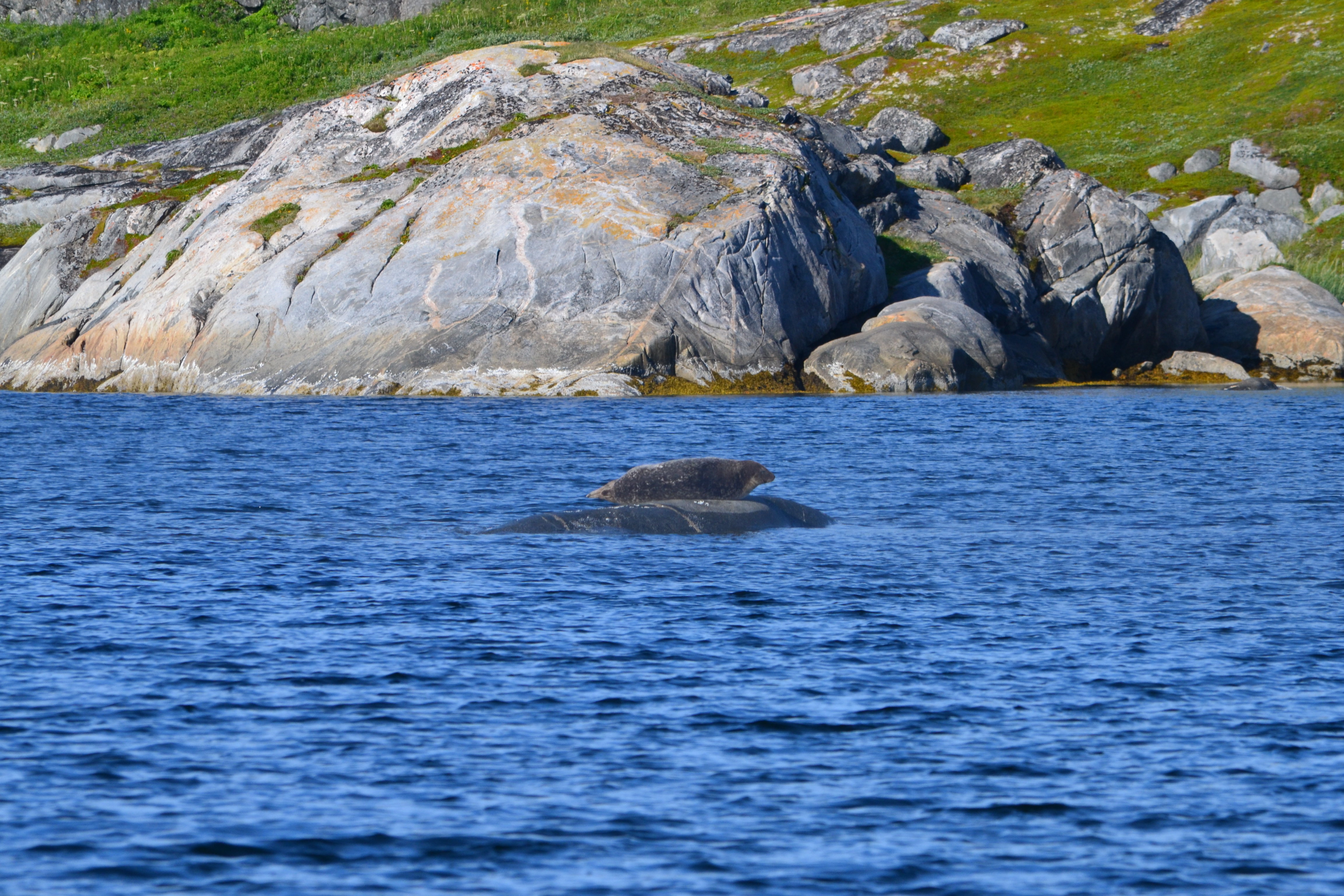
We were sheltered from most winds and seas so had calm sleeping conditions! Edwards Bay is at Mann Pt on Mundy Island. Smokey Tickle, on the eastern side of the island, had been used as a fishing station up to the 1990’s then abandoned. Edwards is too small for industry so remained undisturbed. We were encased by high basalt ridges, worn granite ledges, rolling green valleys thick with lichens, mosses and grasses that was like walking on sponge. First morning we awoke to a seal napping on the midchannel rock. The hiking was magnificent, with routes open to the top of the hills for the stunning views. Being on a boat means smells of salt, fish and kelp, but the hiking through the valleys bathed us in aromas of herbs and grasses. The cloudberries (=bakeapples) were just starting to ripen, so the valleys were spotted with thousands of tiny red berries. We spotted caribou and bear scat; which made us feel better about hauling around the bear deterrent kit attached to Steve’s hip (a Labrador cowboy!). While hiking we saw another sailboat anchored in the channel – wow…the first other sailboat we had seen in Labrador!
Steve’s drone shot – please excuse the newby jerkiness!
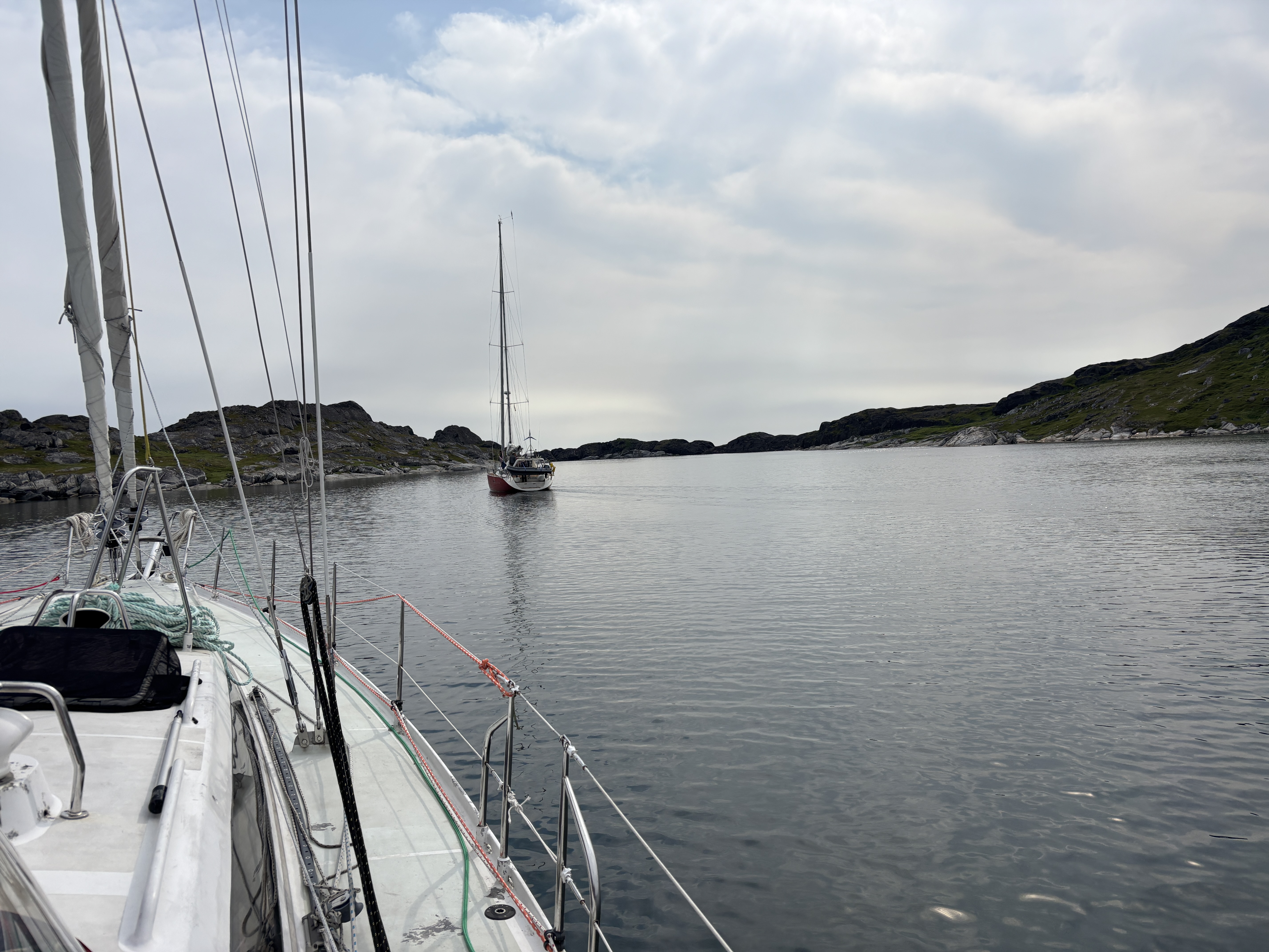
Later, back on the boat, we are relaxing in the cockpit and we hear voices (!?!) – the other boat had come into our tiny harbor to say hello! Belle Colombe (Bellecolombe.net) is a 62 foot Garcia (aluminum boat) crewed by five Englishmen. They had just completed the Viking Route starting in France, to UK, through the Faroes, Iceland and Greenland and were headed south to Newfoundland and Nova Scotia. Their schedule was a bit tight than ours and their boat a bit faster!
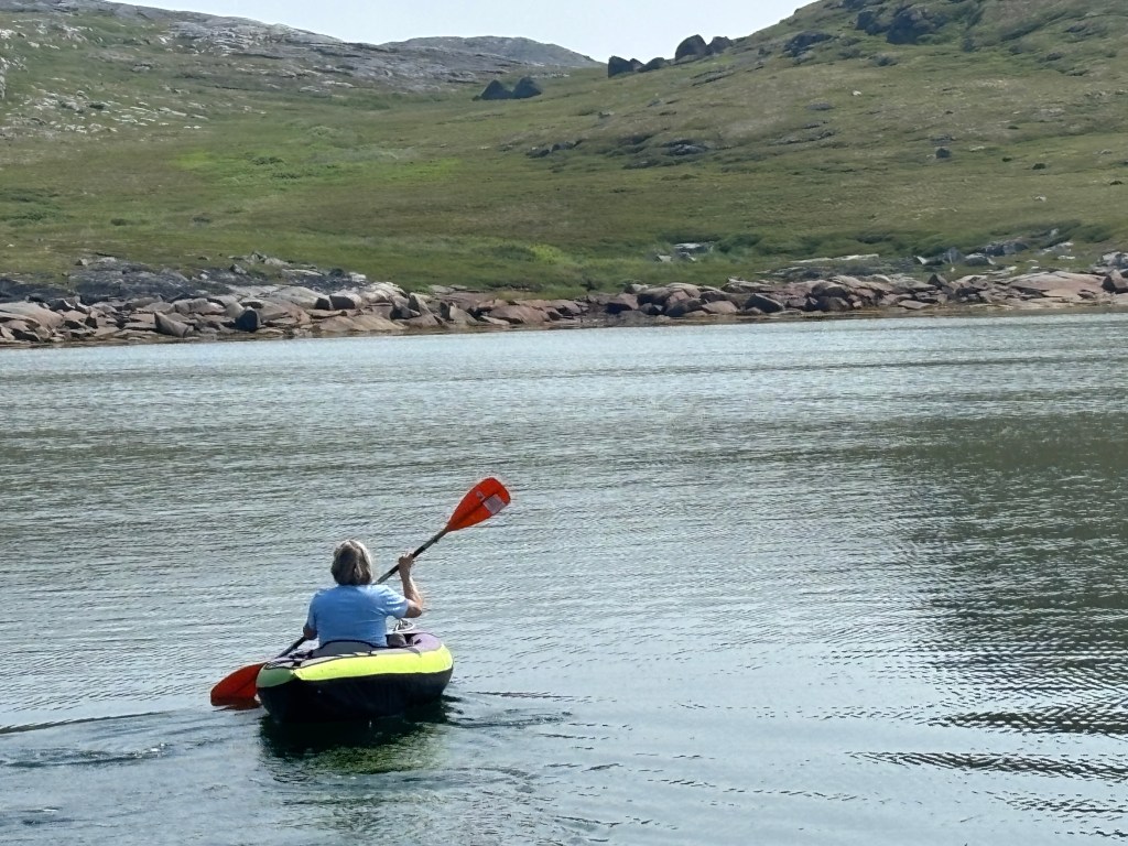
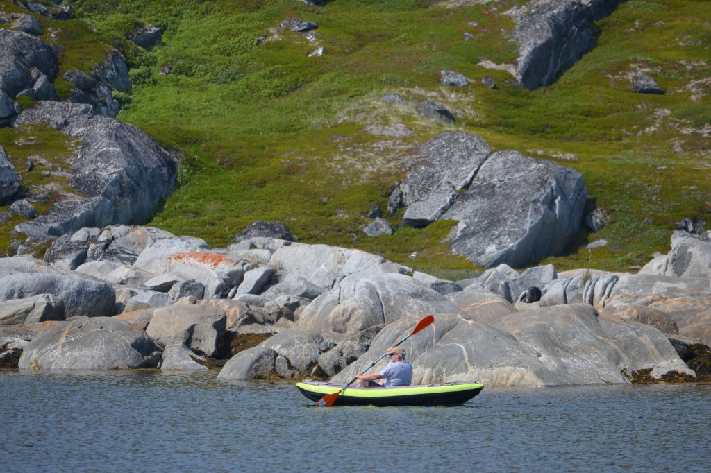
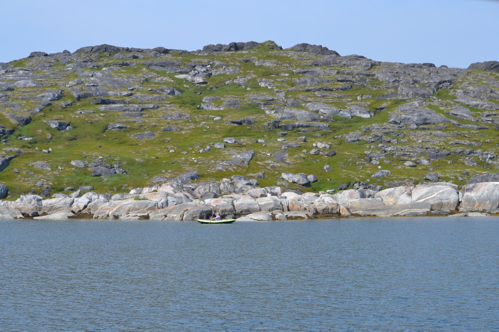
We had two full days at Edwards Hbr with sunny clear skies and temperatures in the twenties. Cartwright weather was reporting a Yellow Heat Warning at 25C! Got our shorts out! We inflated the kayak to do a little shoreline explore.
That evening, after a ‘crew meeting’, we decided that this would be our turnaround point for the trip rather than pushing further north. While our original goal had been more northerly, the weather has delayed that plan and if continuing north we would need to commit to a 120 nm transit to be in decent cruising grounds. Adding 120nm to the return trip too. Perhaps, more importantly, we are having fun gunkholing, exploring and hiking. This way we will have more time to explore some of the ‘gunkholes’ we sailed by on our way north. The CCA guide has 67 ‘gunkholes’ listed from the southern border to Mundy Island! We have a few highlighted to visit when heading south.
We have made arrangements to winter the boat in Lewisporte NFLD and look forward to coming back out to cruise the East Coast next summer. We had lofty plans of the Viking Route in 2027 but family comes first and we have our daughter’s wedding in July. So, 2027 will present with lots of opportunity to continue to ‘Gunkhole’ the East Coast and perhaps even have friends and family join us!
July 27th
The forecast was for a relatively calm morning with the winds building from the SSE (the direction we were headed), so we hauled anchor at Nautical dawn (5:15am) and began motoring south with the intention of making it about 70nm to the Island of Ponds, most of it on very open water, which we were hoping to clear before the winds came in.
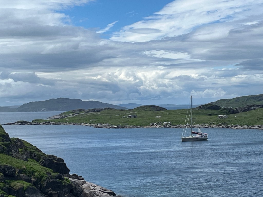
The morning was clear, cold and mostly calm but around 1pm the winds came in fast and strong, rising quickly from 10kts to 20kts, on our nose, with rising seas and whitecaps – Tikaani started pounding. Given the choice, we turned right and headed to Grady Harbour where we knew we could find good holding and shelter. It was plan B. Besides, a 5am start with a 9pm arrival into pounding seas does not make happy people or boat!
July 28th
Up again at nautical dawn hoping that there would be another morning lull to the winds and that we could make the next 30 nm open water jump to Island of Ponds. No luck. Even in the shelter of Grady Tickle the winds were blowing a solid 20 kts so back to bed. By 10 am there was no meaningful change in the winds (they were forecasted to reduce on the 29th), so we settle in for a day of boats tasks, cleaning (bilge, anchor locker, wharf streaks on hull, cockpit floor, etc.
July 29th
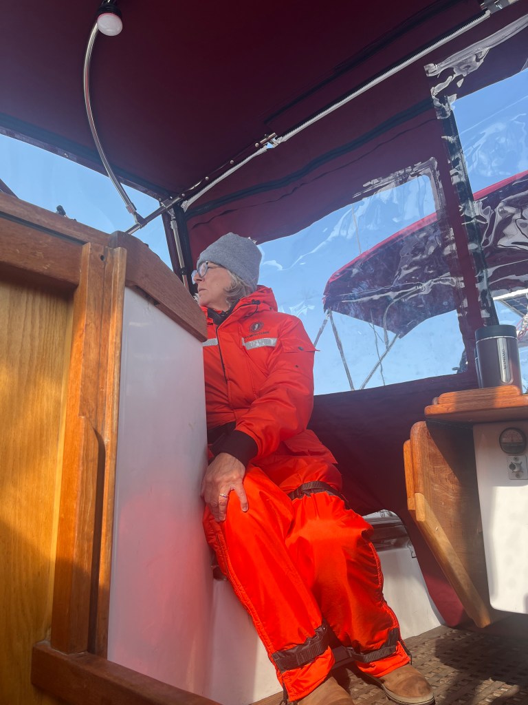
Up for a 5:30am start in hopes of a wind lull. Instant oatmeal to warm us up plus wearing our Mustang flotation suits – we are 2 big orange telletubbies in the cockpit! The wind was still up to 15kts against us but it was only 21nm in open water (3-4 hours) plus 2 hours of maneuvering between islands, watching out for net markers. We elected to overnight in Domino Harbour – another narrow, shallow anchorage; this time with an old Fish Plant and summer houses at the end of the bay. Protected from the SSE winds and sea state, we dropped 33m of chain in 7m of water and watched the winds build. Held tight, fair night.
July 30th
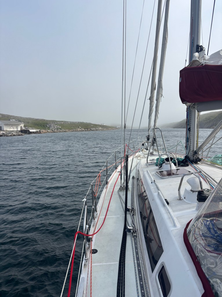
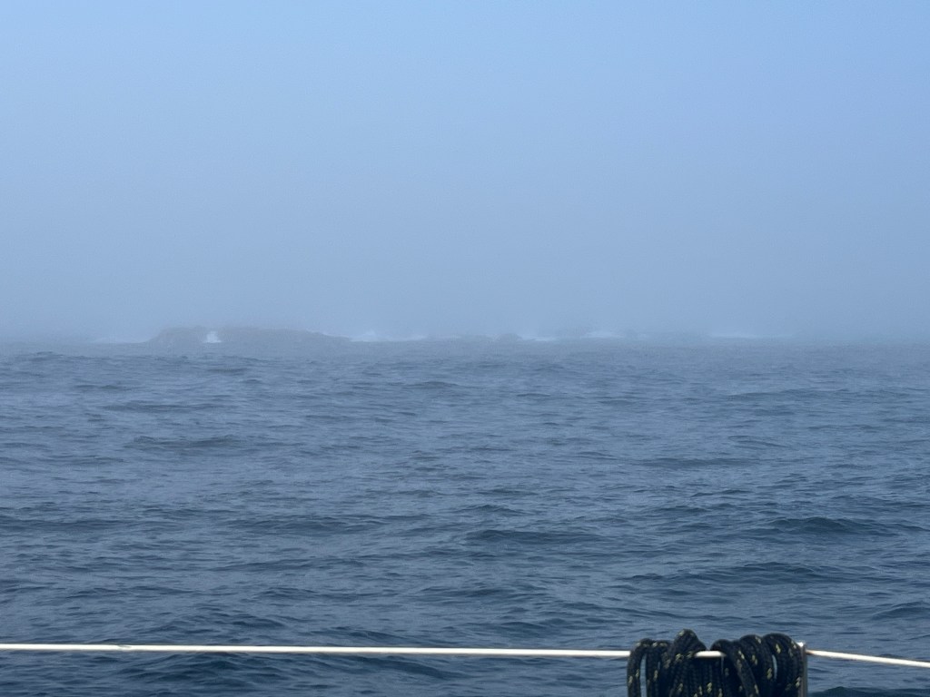
Woke at 5:00 and could not see the shore (50m away). Second try at 7am we departed into the heavy fog. Heard the fishermen’s boats leave at 4:30am! Navigation was entirely via B&G (GPS) and radar, with the faintest hint of lacy shoreline as the waves crashed onto the rocks. At best, visibility got up to 400m. Lots of puffins and seabirds but that’s all.
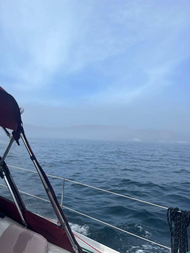
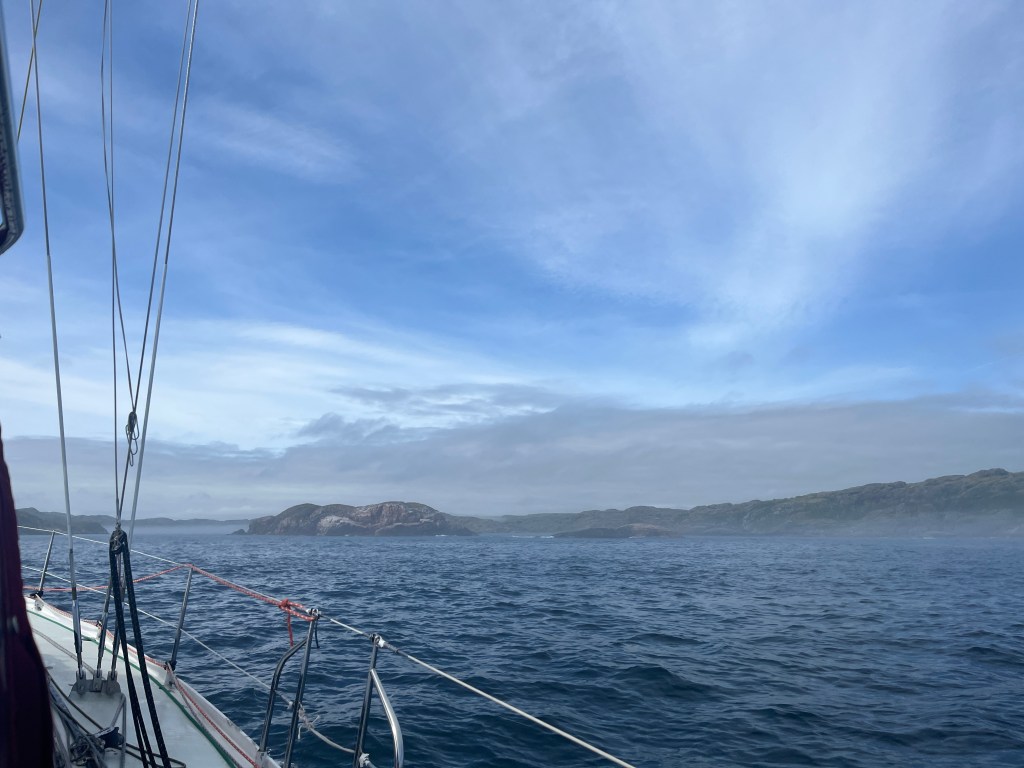
Fortunately, the fog lifted as we turned inland and approached the entrance to Squasho Run, maneuvering between islands to enter. We headed further east and the skies cleared and weather warmed. The CCA book provided extra guidance about rocks, ledges and depth and we slowly rounded north to Caplin Bay, motoring in beyond the extent of the existing charts. The bay is magnificently sheltered among large hills but is a stark contrast to Edwards Harbour as there are lots of trees!
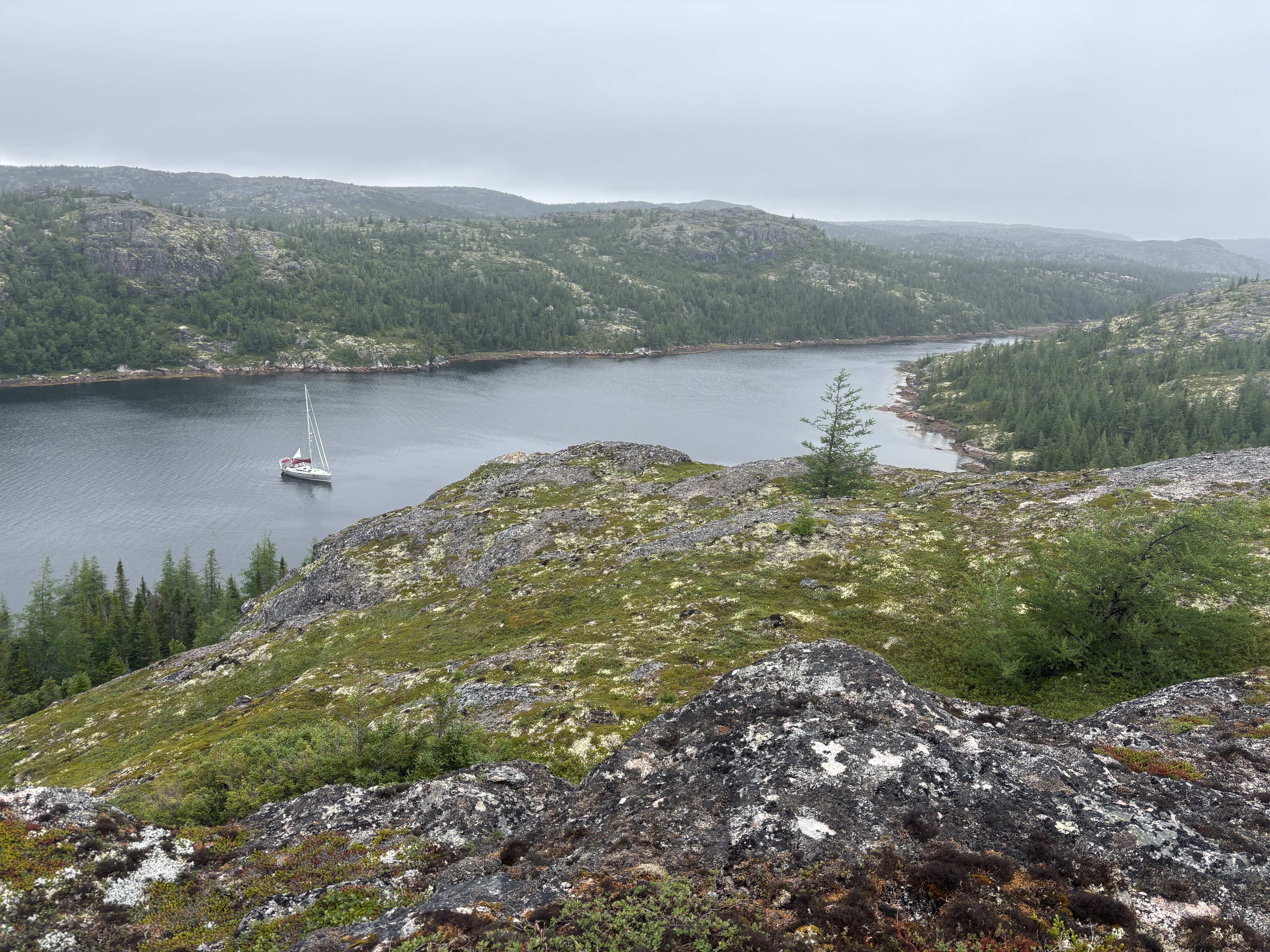
We launched the dinghy and checked out the stream above the Bay but will have to go at high tide or in the kayak as it shallows out into a rock garden. Hoping to find a freshwater stream leading to a lake for a swim. The water temperature here is 16C! The evening was pleasant enough to BBQ and we sat out in cockpit to eat … there was just enough wind to keep the mosquitos at bay…or so we thought. We had clearly left a crack in our mosquito defenses as they were waiting for us in the cabin and half the night was spent in hand-to-hand combat, with them buzzing and biting, followed by us squashing them.
July 31st
After playing whack-the-mozzies half the night, we slept late and awoke to cooler temperatures with overcast and threatening skies. That was enough, and we officially declared it a “Lazy Day”, so reading, naps, and cooking constituted the bulk of our activities. It really feels like a holiday! We can hear the wind blowing in the trees, but Caplin is very sheltered.
A weather check suggested a Big Blow coming in on Tuesday to last a couple of days, and to make things more challenging, the eye of the storm is forecast to pass right over top of us, so we need to deal both with strong winds (+30kts) and with the winds doing a 180 degree shift. Lots of discussion to determine where we want to ride it out, and when to get there. There are anchorages we missed on the way up so hoping they will provide the shelter and swing room we need.
August 1st
Having taken back control of the cabin from the mosquitos, we enjoyed a more restful night, and even with a cool overcast morning, set out to see how far up the bay(s) we could get. We set out in the morning on the rising tide. By lifting the outboard and rowing the dinghy across the shallows, we rode the tidal current into the next bay and explored.
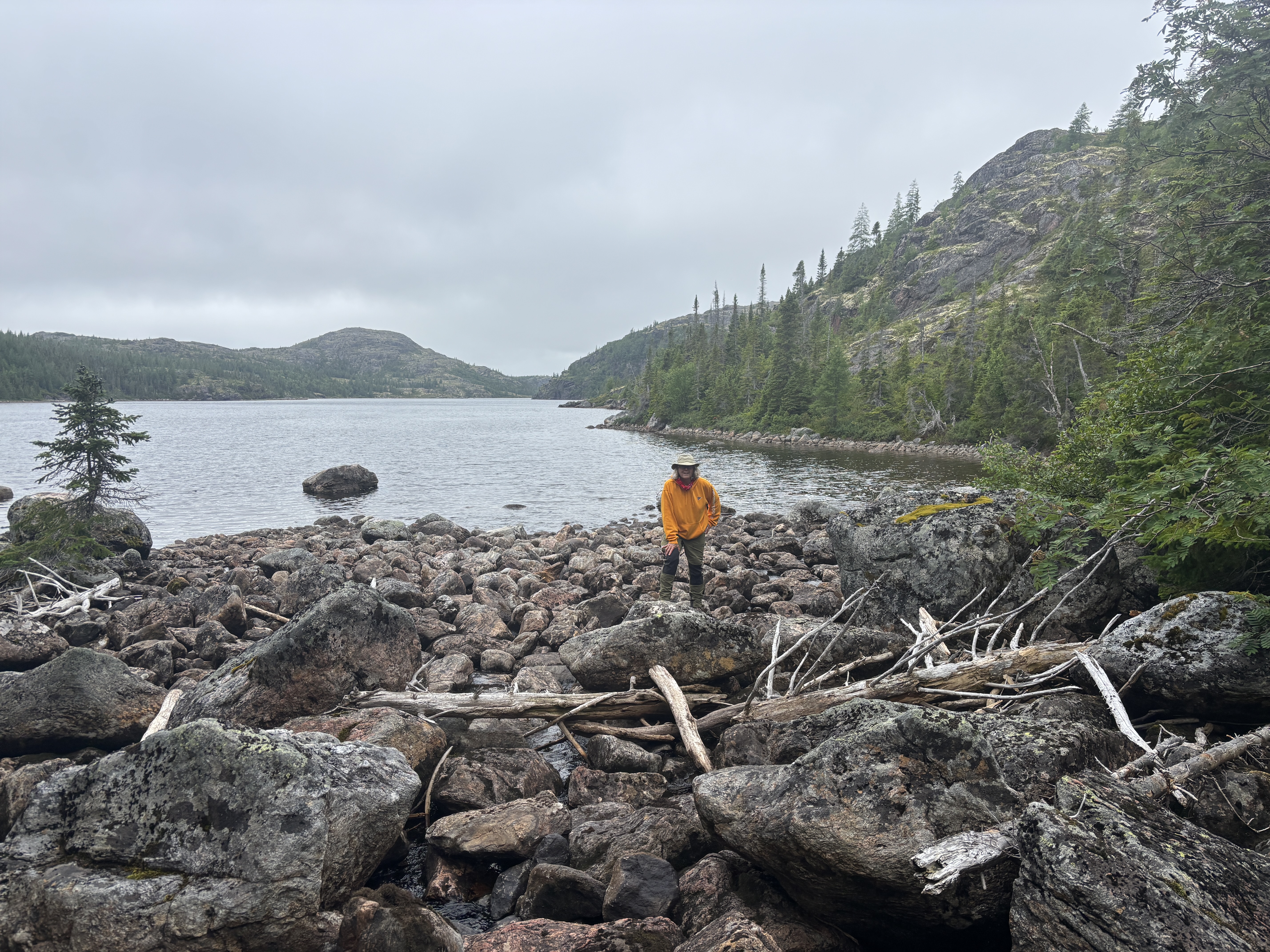
This second bay was about 2nm long and home to a family of seals, Loons, Eider ducks and Plovers. At the very head of the bay we found a warm(!) freshwater, rocky stream about 10ft across. Following it, was challenging (slippery) and we got to a pond realized that it would be a bit of a scramble to get to the wider lake…and that day was too cold for a swim anyway.
Our timing could not have been better, since by the time we got back to the shallows the tide was turning, so we raised the outboard again and with a little steering around the big rocks, let the current carry us back to Tikaani.
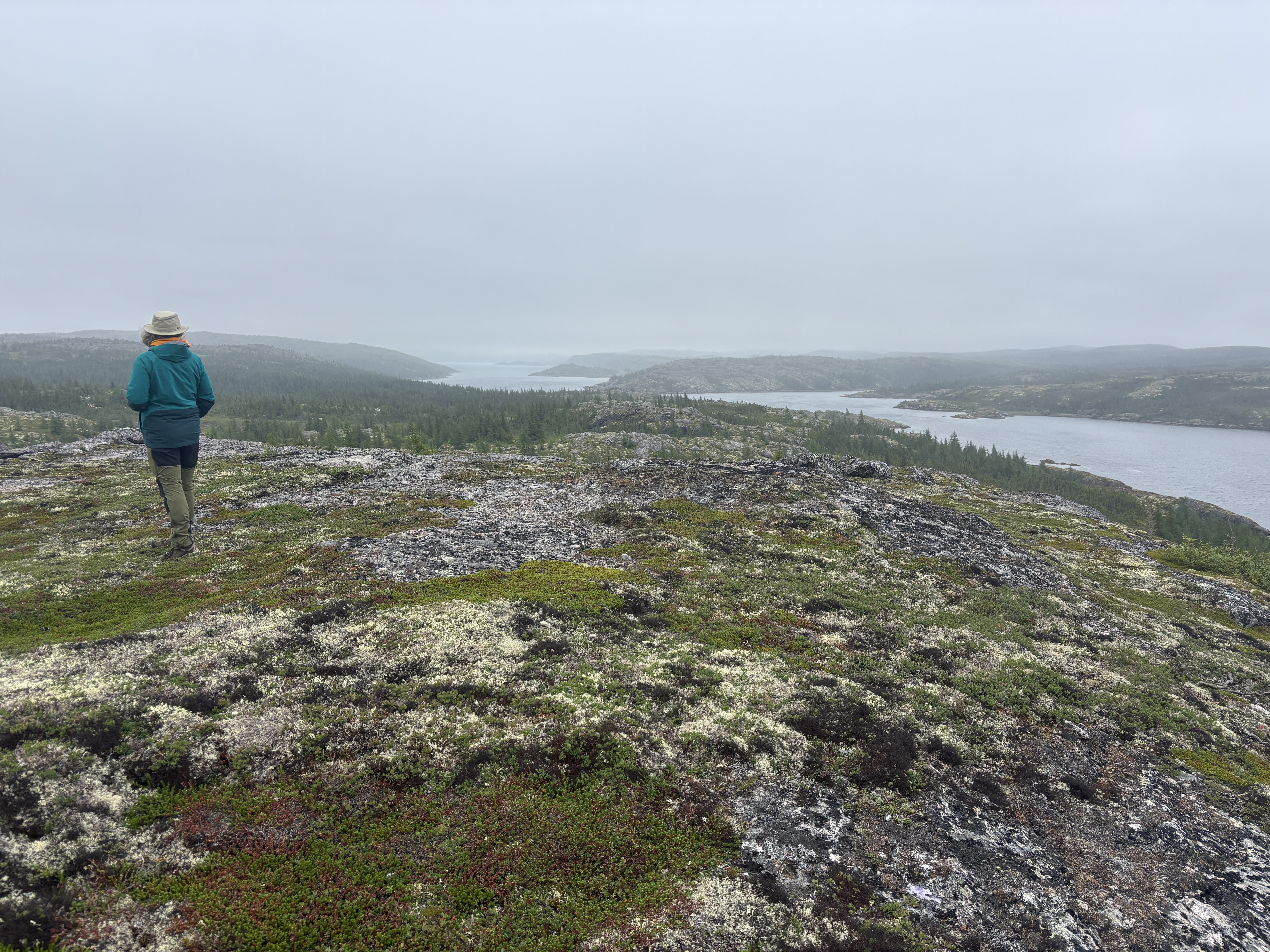
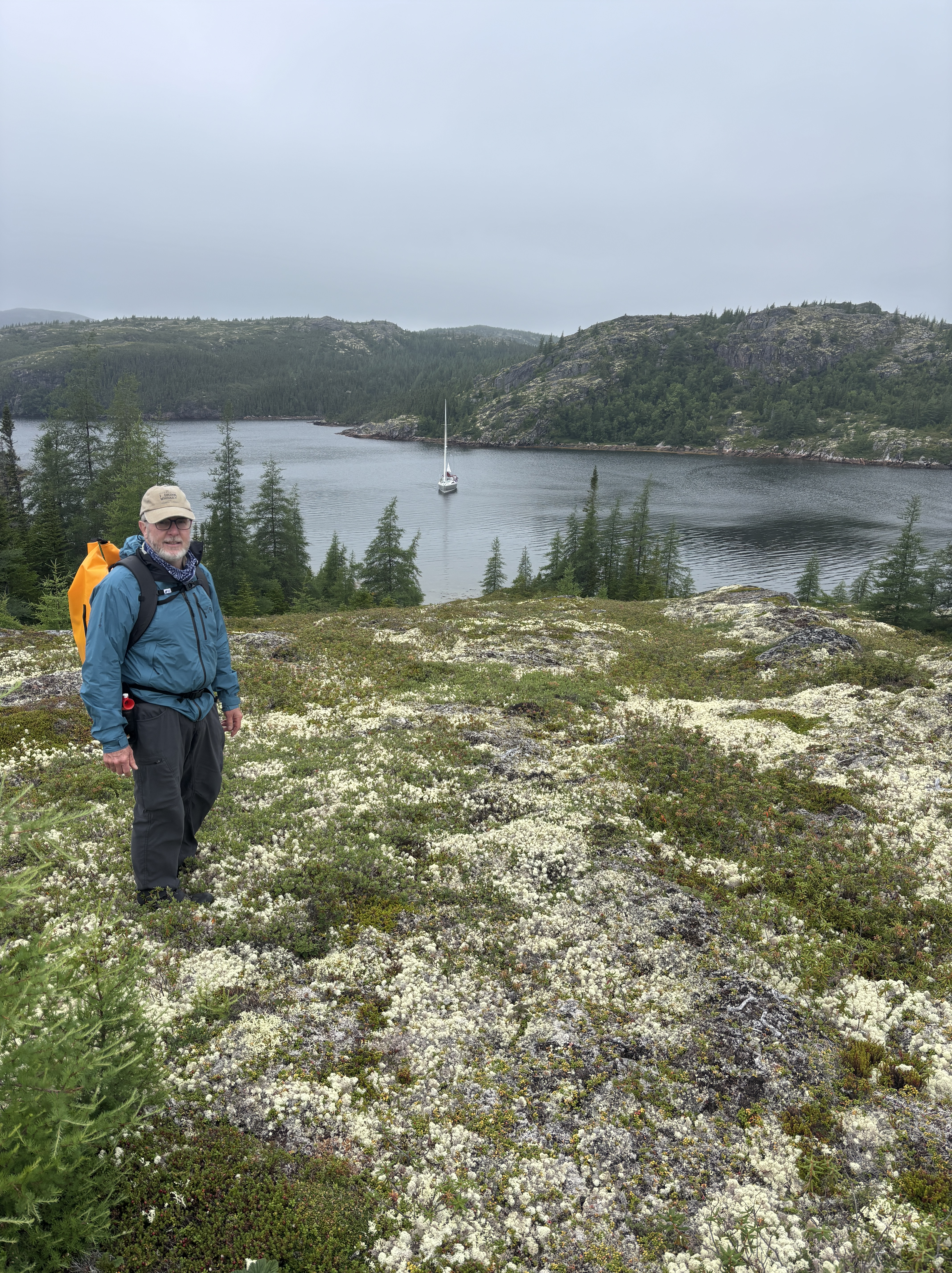
Not to waste a usable day (not raining, just no sun, 15C), we swapped for our hiking gear, and beached the dinghy on the rocky shore near Tikaani. The cooler damp wind at the top reminded us how sheltered we are in our bay, but the lookout from the top was stellar, with views for miles in all directions, even with the low cloud. No bear scat but something big… need a “Scat of Labrador” resource. A large mussel bed but all very small mussels so did not harvest for dinner. Second bread-making day – warms the cabin!
Leave tomorrow for Hawke Harbour, an abandoned whaling station, about 15nm. Then onto Occassional Harbour (has a waterfall to bathe in!) which is another 20nm to hunker down for the blow on Tuesday+Wednesday. That’s Plan A.


Leave a comment