July 11th
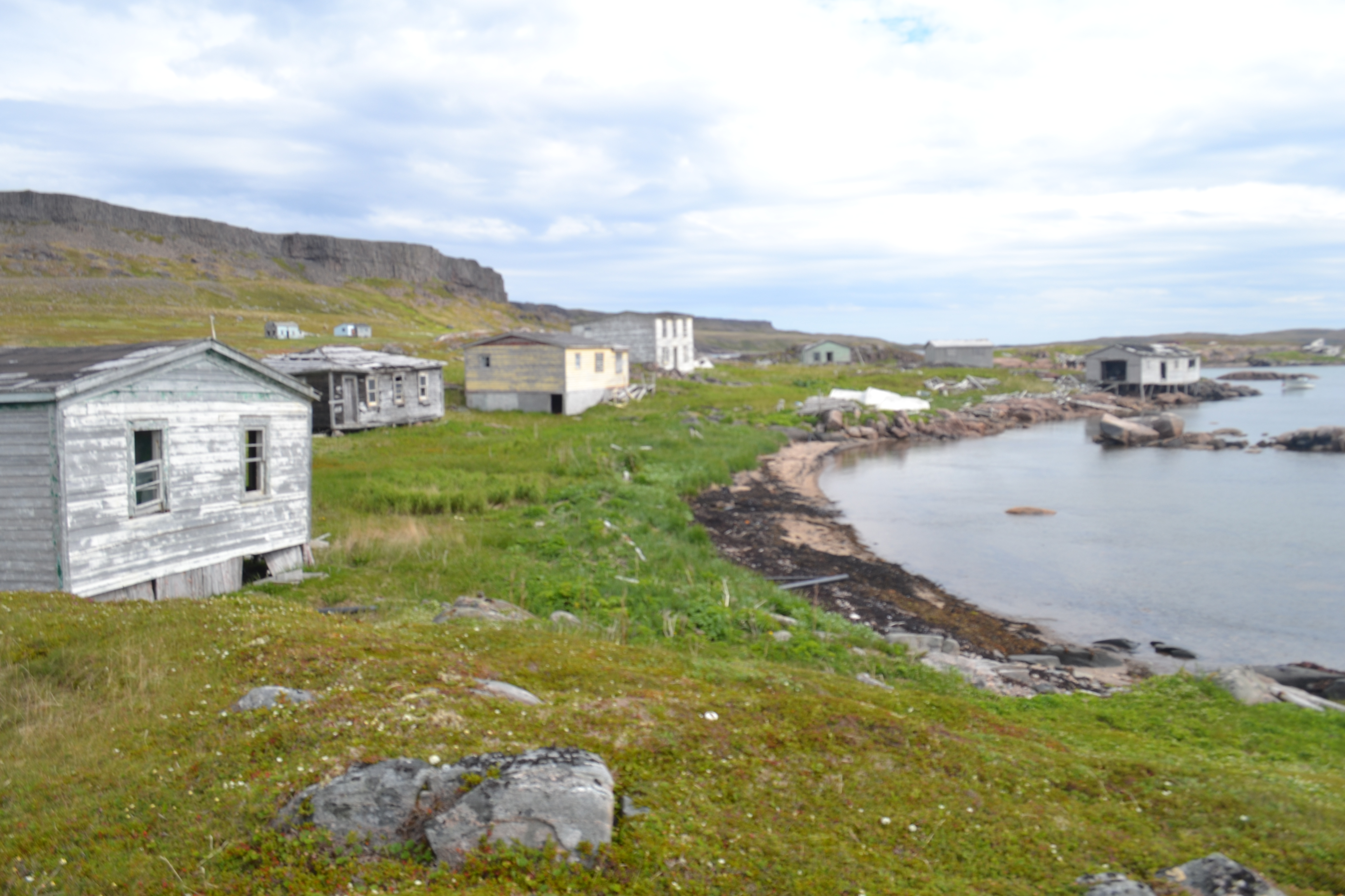
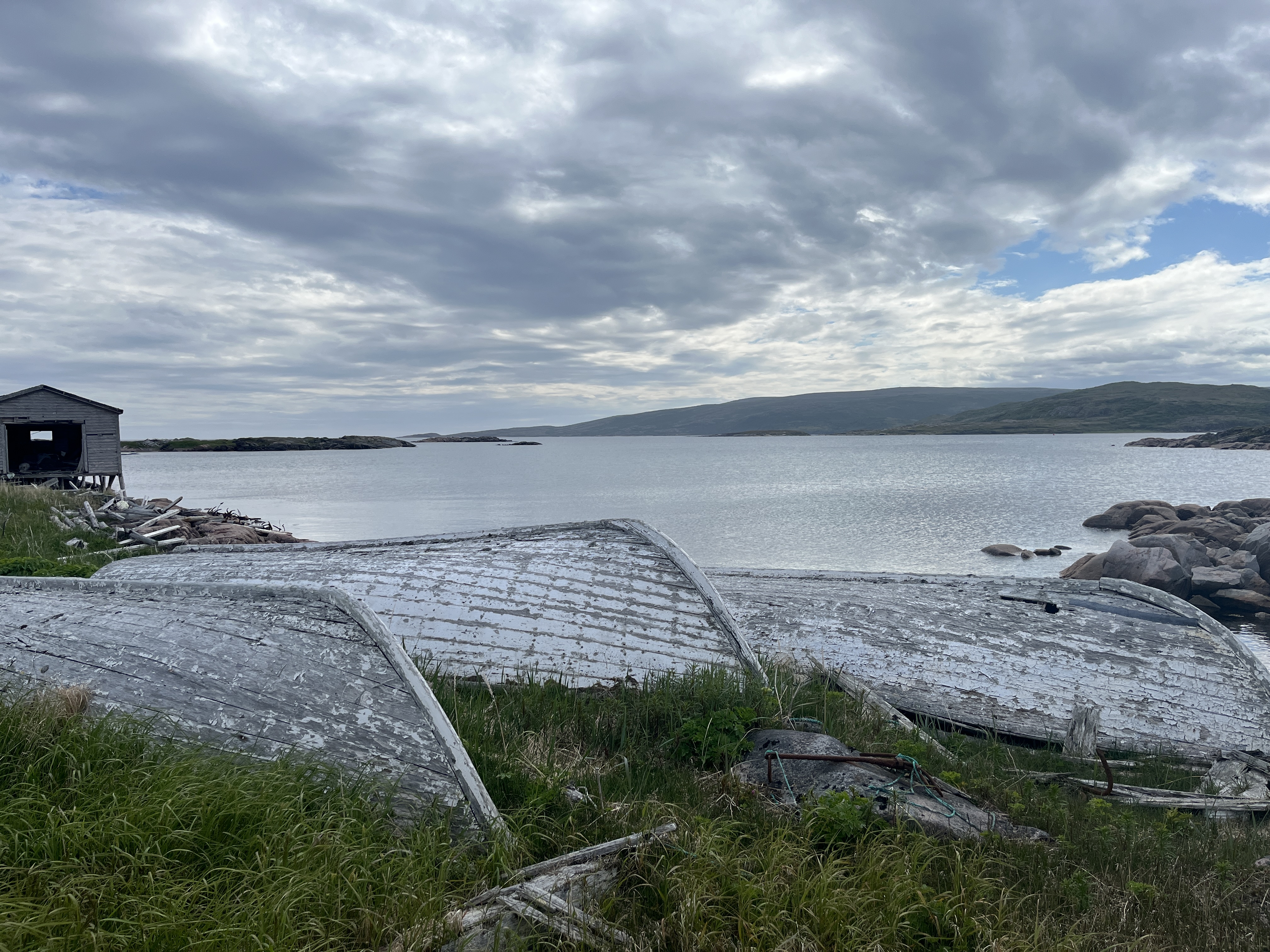
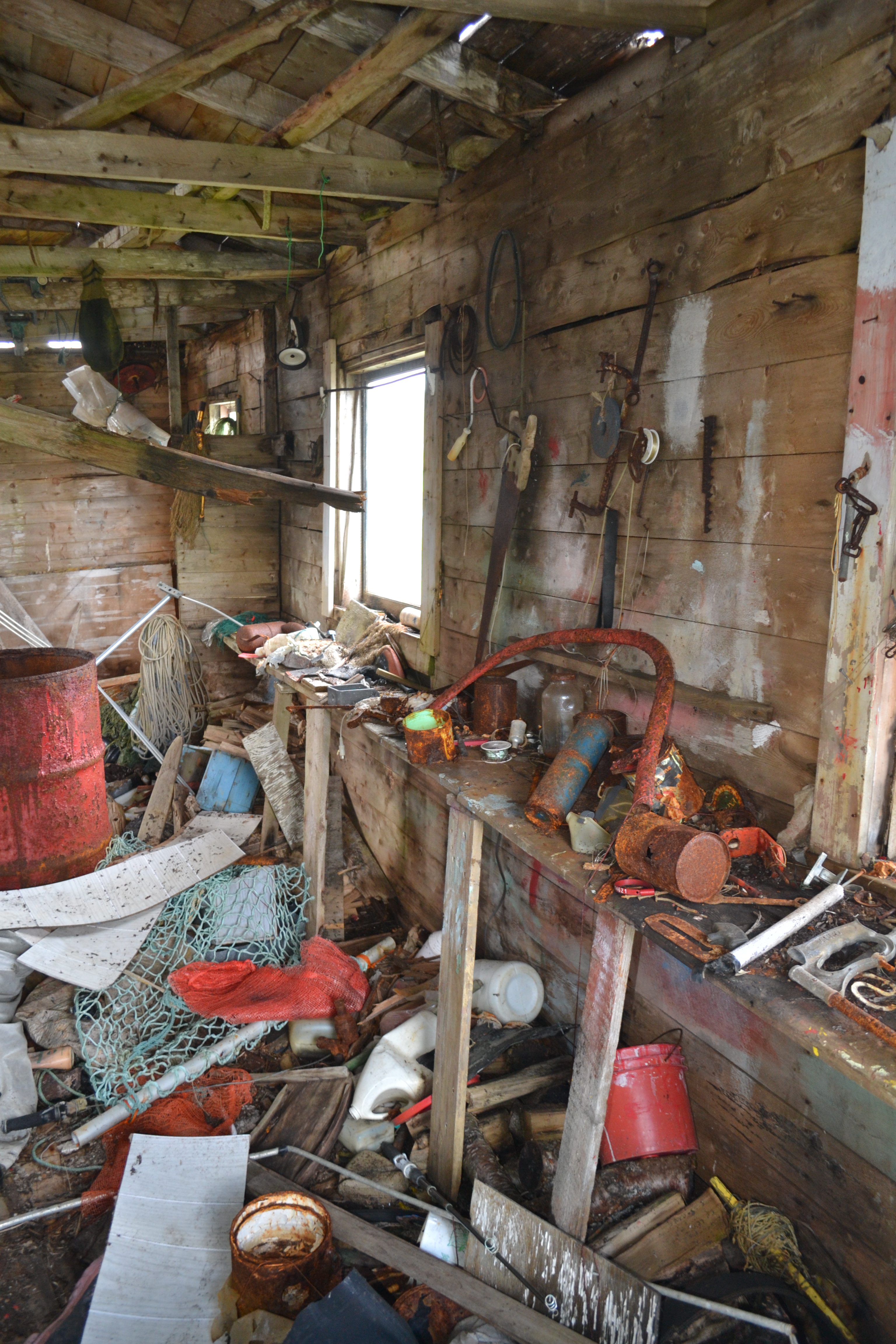
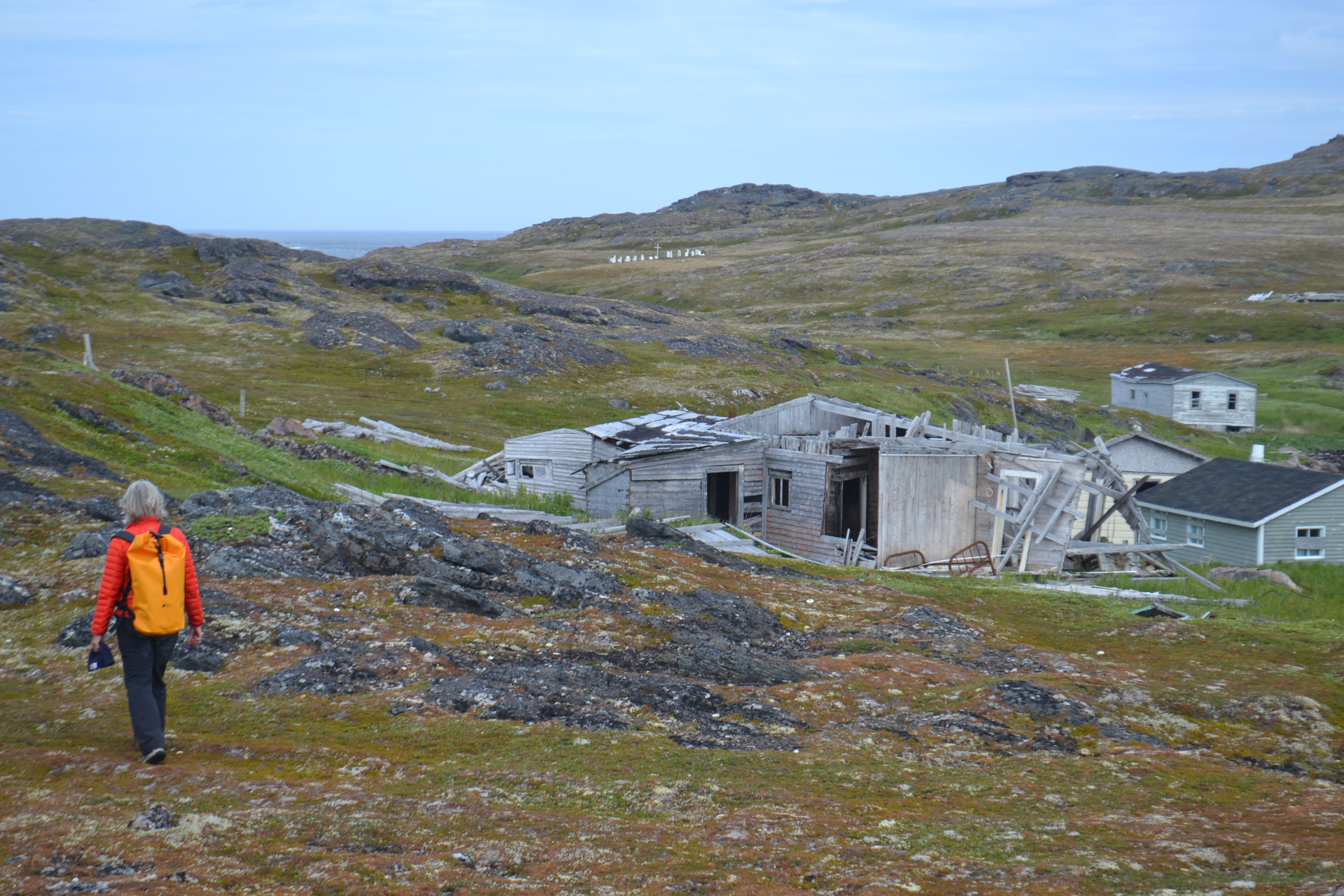
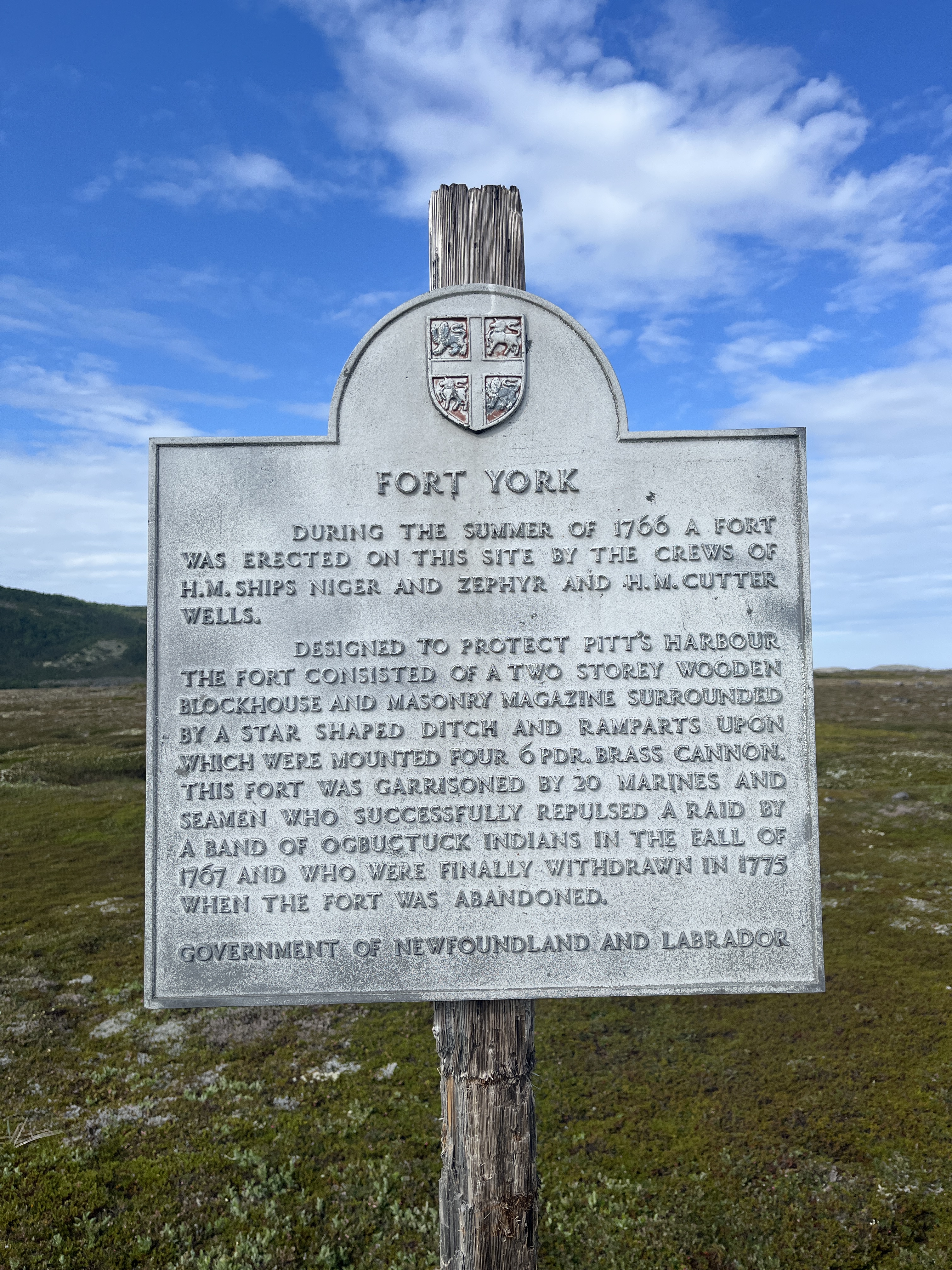
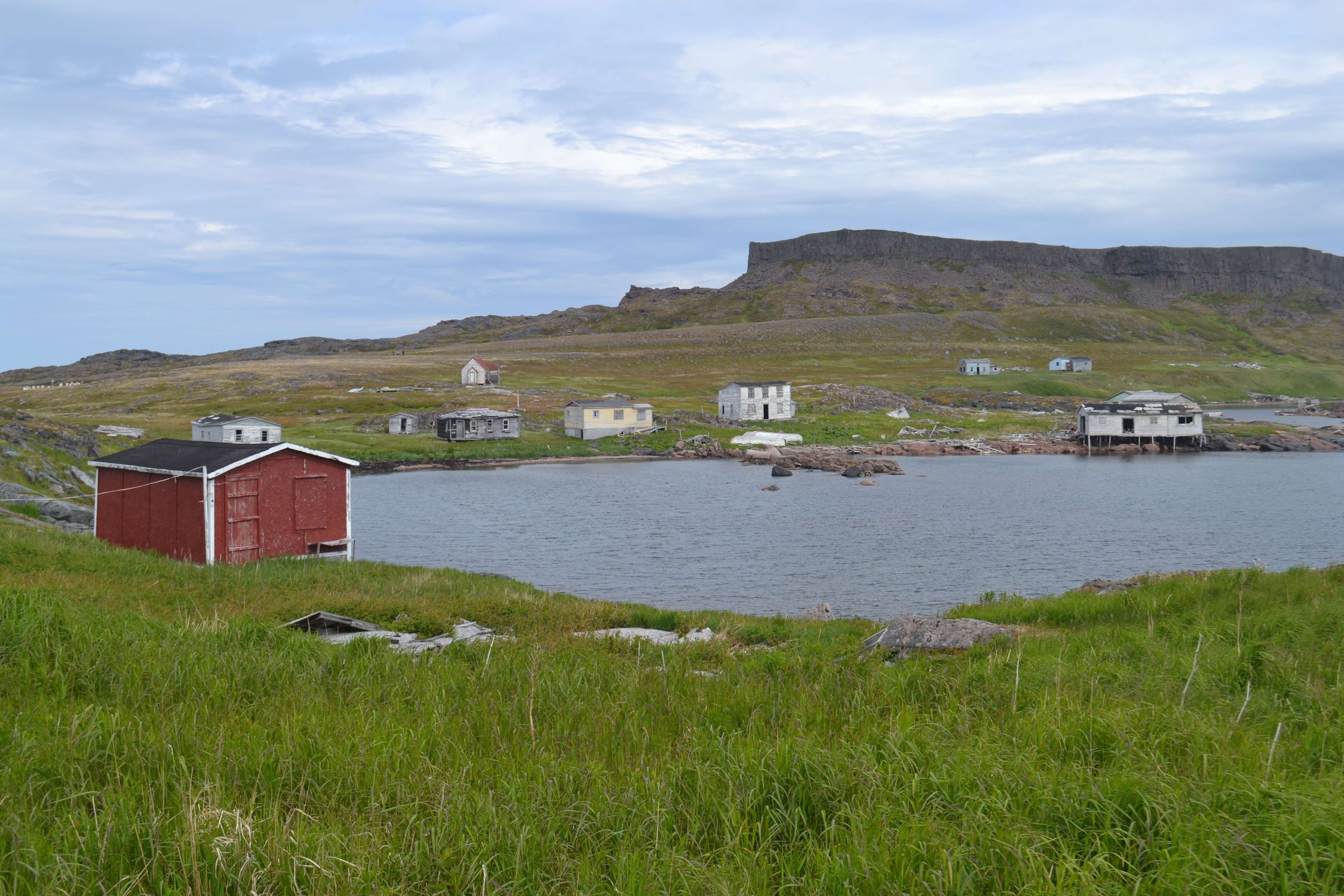
Awoke to a sunny vista at Pitts Arm. Visited Henley Harbour, abandoned settlement…fascinating… and found the remnants of Fort York 1766, moat and all. Very cool historically. Check out Ed O’Reilly’s youtube .
July 12th
The weather was good to head north and sea state flat (hurrah!). Destination: Charlotte Harbour, 40nm away. As we rounded Henley Island turning north there was a pod of dolphins (20 or 30), feeding on a bait ball, with lots of jumping and maneuvering going on.
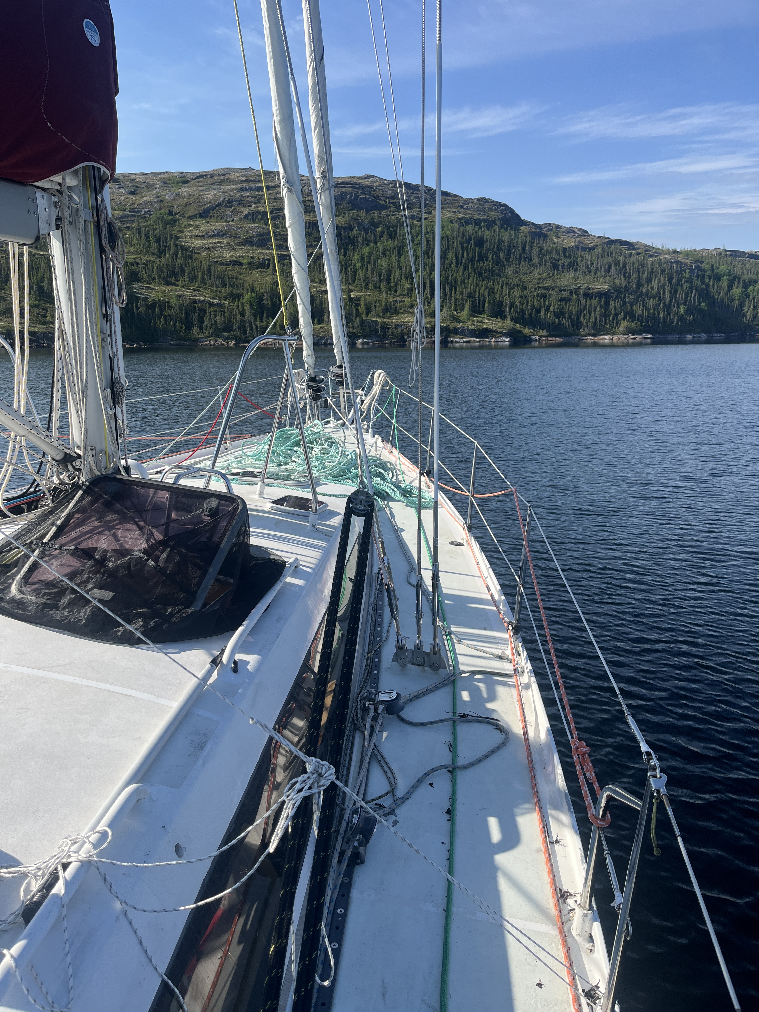
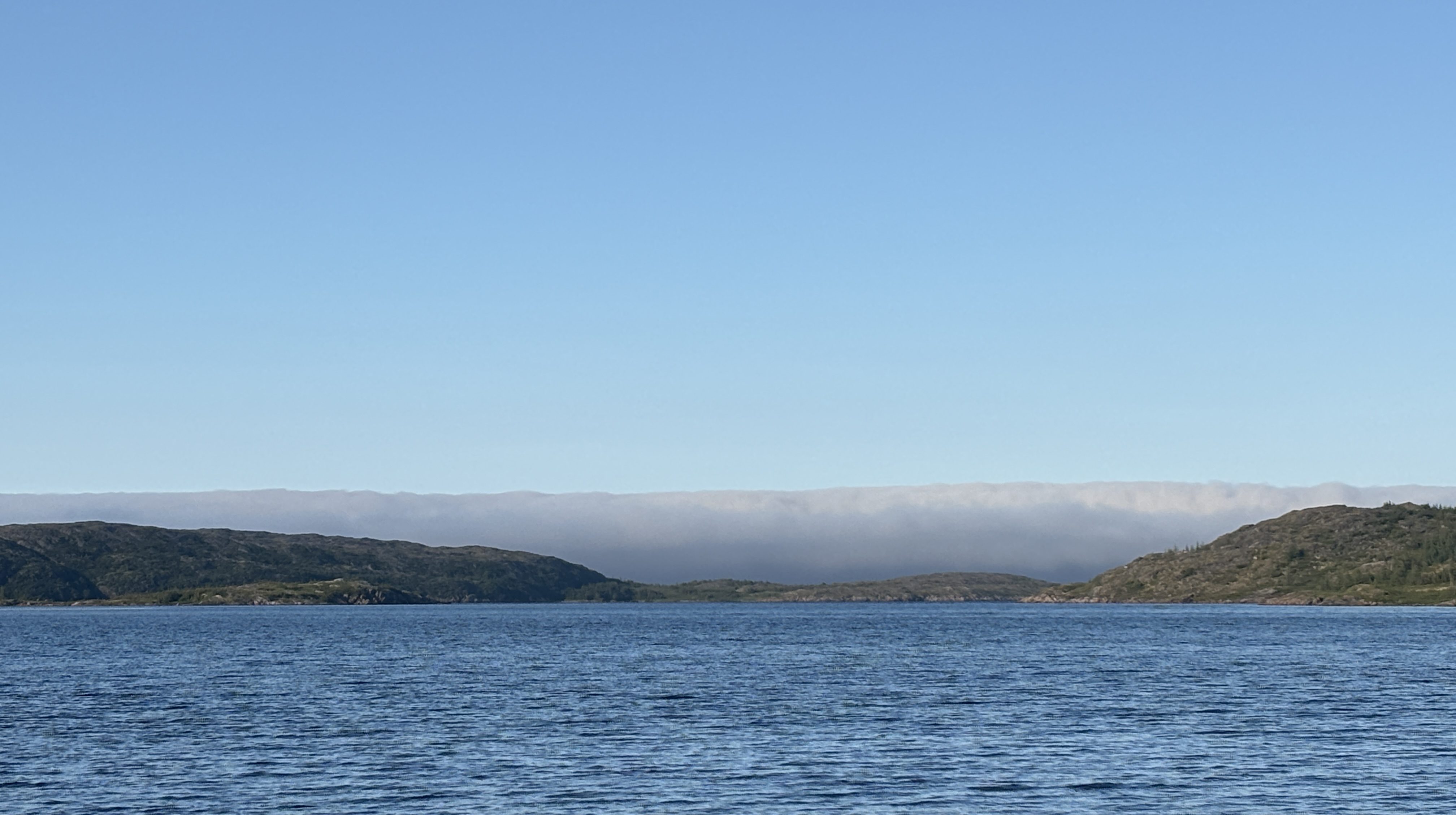
Within the hour a thick fog set in, but it comes in as fast as it goes. When the skies did clear the visibility on the water was rarely more than 1or 2 nm. We took the inland passage south of Denleigh Island where the fog cleared for us so we could appreciate the majestic shoreline of worn rockface, scrub and crashing waves. With the wind still howling and the forecast for steady winds, we chose to venture down the Mecklenberg Arm ( the furthest inland arm, 2nm, to head of the Bay.
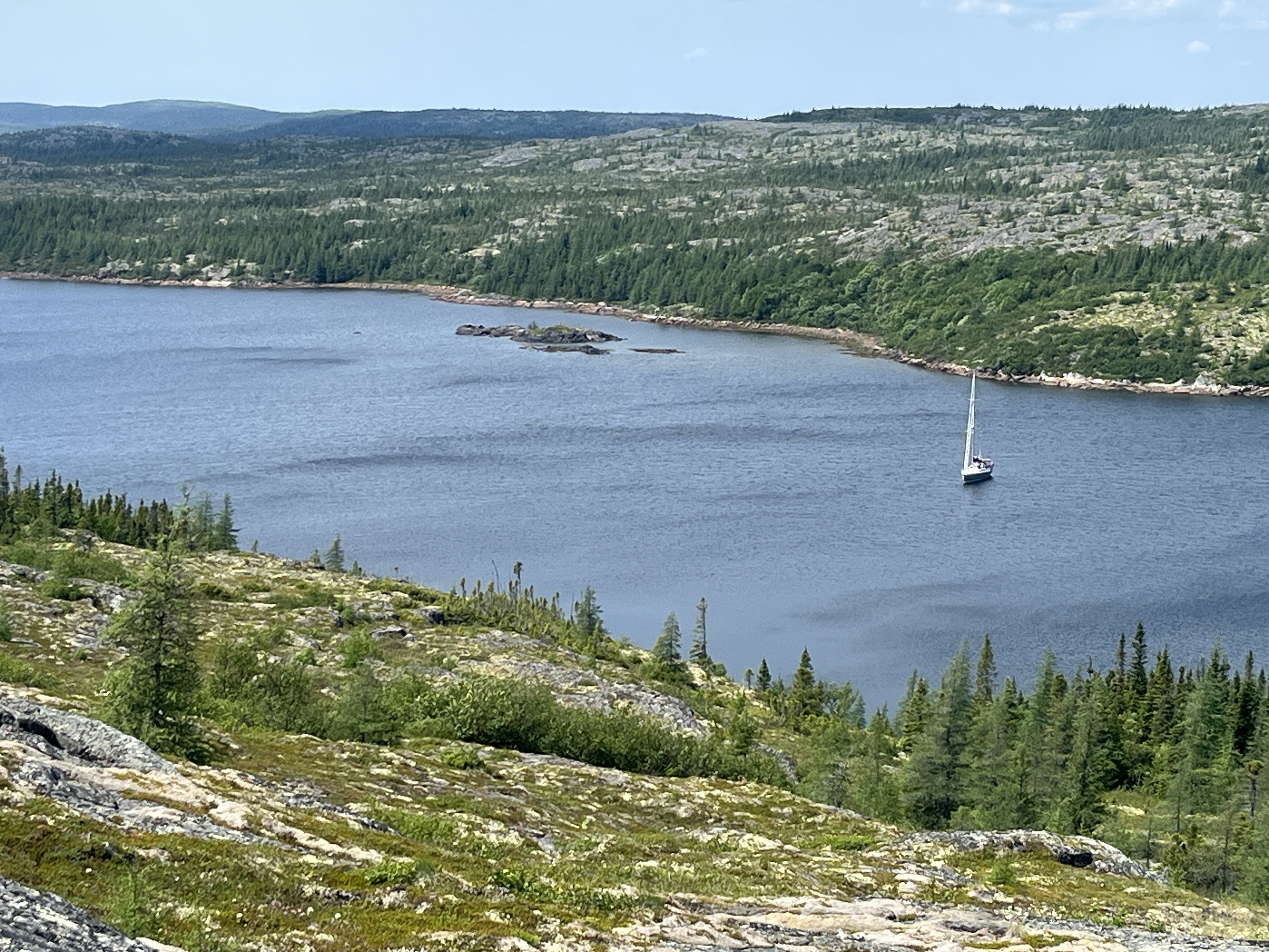
Our first attempt to set an anchor hit rock with the anchor skipping across the bottom – Navionics provides approximate sand/mud/rock guidance but it was ‘off’. We were able to find mud further out and set in 15m depth. The bay was wide, so we had lots of “swing” room for the high winds that were expected, even with 60m of chain out. With the boat solidly on anchor, and shelter behind the dodger we had a BBQ! The wind also kept bugs away which allowed a lovely evening on deck. Steve played guitar… there is something ethereal about the sound of the guitar with wind, waves, rock and trees…a gift! Sunset without bugs too! Amazing!
Monday July 13th
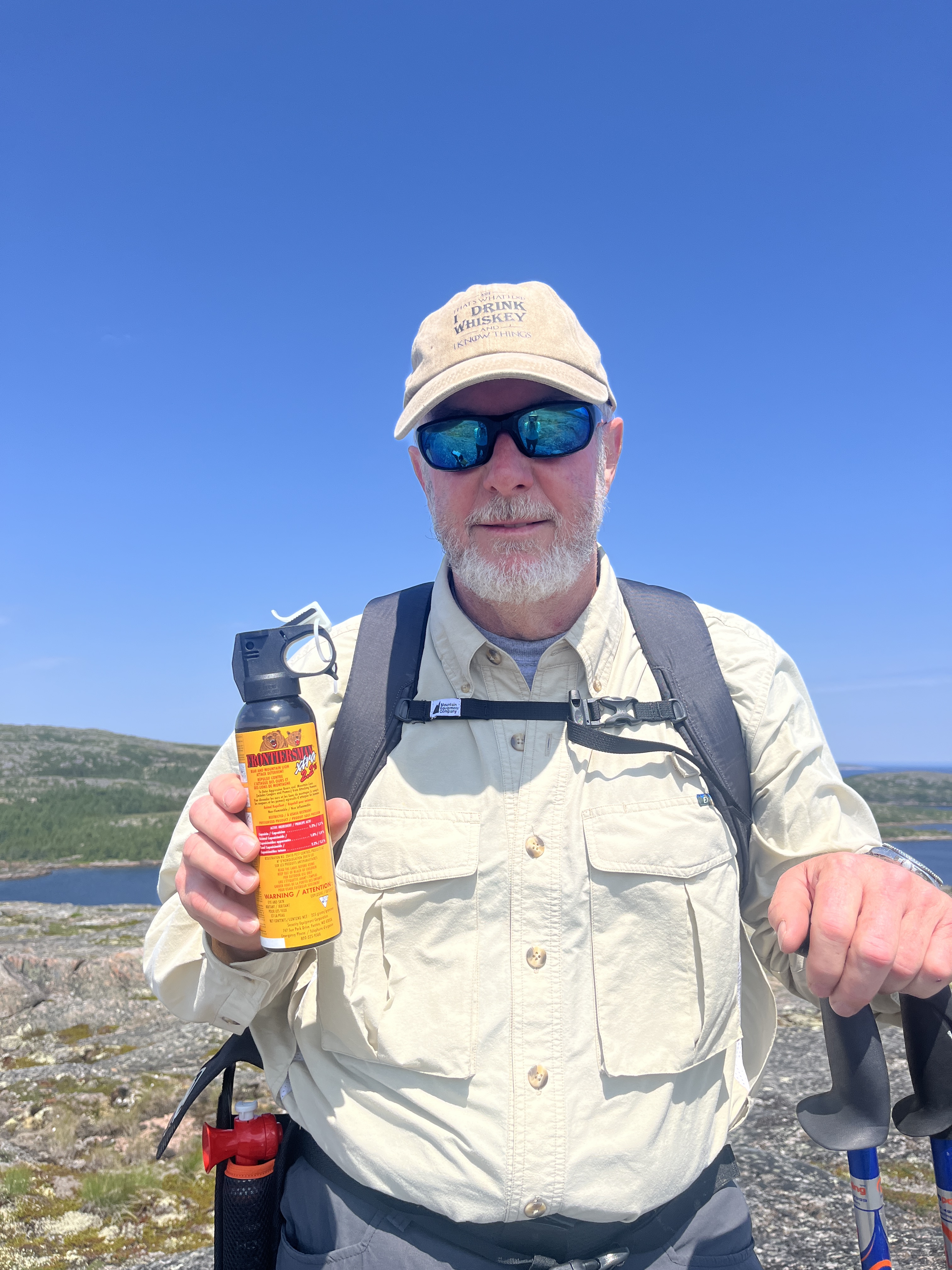
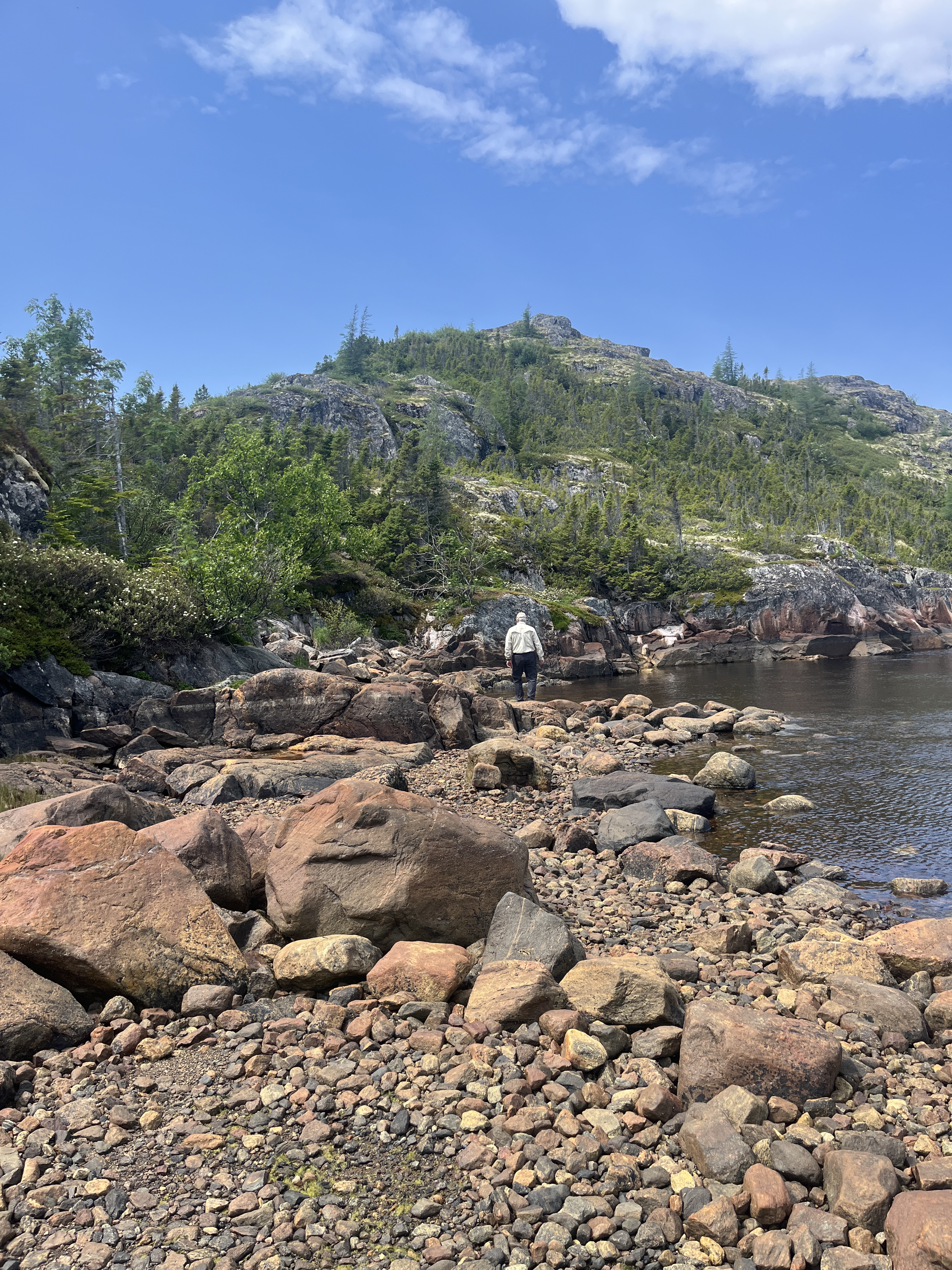
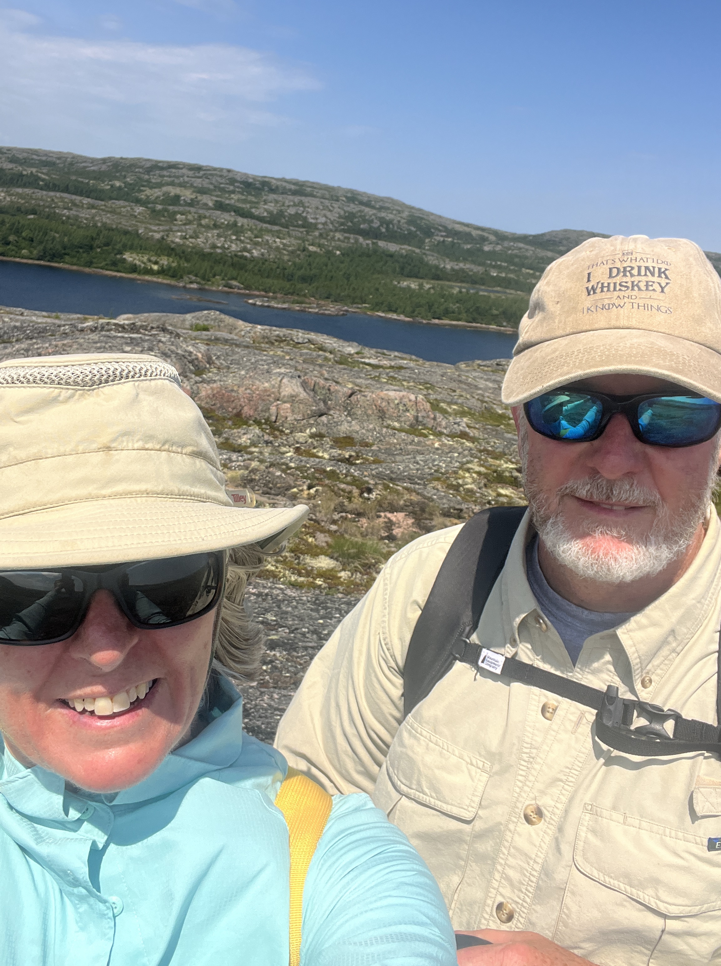
We awoke to fog, but by 10am it had cleared to beautiful blue skies. We lowered the dinghy and set off to hike the hills… with long sleeves and bug spray, of course. The other addition to our shore kit now is our bear deterrent kit (bear bangers, air horn and bear/pepper spray) as we are now decisively in Black/Polar Bear country. Ali had to get a lesson in operating Bear Bangers and Screamers (Steve had used them when a geologist). They are small pencil flares that shoot off an exploding charge about 50m away. The bang scared off everything before we even got to shore. We found a fair-sized brook with dense bush around it but someone had cut trail and we followed it for 10 minutes to a lake…freshwater! So tempting to jump in but we had only just started exploring. We hiked the peak (~200m) over scrub and rock and were awarded a beautiful vista. Bugs were minimal as the wind was strong. We salvaged some floating rope left on the rocks to add to our shoreline anchoring options. Also, let out more chain in anticipation of Wednesdays blow.
Tuesday July 14th
The 30+knot winds arrived today! As did the rain. So, with 2 drogues (front and back) and an anchor sail up, we had done all we could to hold in place. We were healthfully nervous but trust your anchor (!) – and reminded ourselves that we had held in worse last summer. The boat bounced around a bit but it was not uncomfortable.
The glitch today was the B&G wind instrument readings – on/off – then nothing. And Autopilot computer stopped. Steve spent hours updating programs, reading manuals. This could put a severe dent in our plans; we can still self-steer for 6 hours a day, but Auto is soooo convenient. As it turned out, we were able to stabilize the system with Autopilot back on, but the wind instruments continued to have long seizures. While a seemingly small issue – you can always go out and “feel” the wind and look up to the wind vane for direction but it means we cannot set the autopilot to steer by wind direction, and we regularly have to leave the shelter of the dodger and stand in the cold wind to watch for shifts or wind speed changes (usually we do all this electronically from our sheltered dodger).
The weather forecast was for Gale force winds on the coast on Wednesday, dissipating by Thursday. We made the decision to stay here another day versus risk sailing north in a gale tomorrow.
But the night was quieter than expected!
Wednesday July 15th
Still ready for the big blow… awoke to rain till 11am, winds 10-15 but not the 30. All day we waited, watched the clouds, called up the forecast. It was a day of Shashuka for brunch, freshly baked cookies for snack and a lovely chicken pesto for dinner.
Thursday July 16th
Awoke at 5:20am, could not sleep as we had it in mind that we would move on, that winds had abated and we could go north and discover a new anchorage. Ali was nursing a backache so stretched/therapy/exercise, then woke Steve (Mr Safety). As we put away the drogues and anchor sail, Steve looks at the big black cloud on the horizon and pauses …”we should check the weather forecast”. We have been caught out before assuming that yesterday’s forecast was today’s. So we find out that a gale force warning has been issued for 8:30am- in 2 hours, right on top of us! I proposed we just go the 12nm to the anchorage called Occassional Harbour in the book which boasts a waterfall. Mr Safety was not to be convinced. This is a delicate balance of he vs she. I chose Pitts Harbour, he chose Mecklenberg Hbr. Our anchor has held well and swing room is good. Steve chose to stay. Ali dumped out the 500 piece puzzle to ease the disappointment and Steve is reading a massive 1600px3 trilogy our son suggested. By 11am we realized the high winds never came, the forecast was a dud. Welcome to weather forecasting in Labrador.
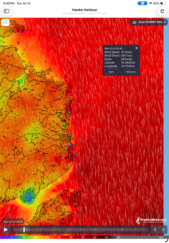
As an aside, we utilize a weather App called Predictwind, that gathers all of the meterological forecasting data from around the world and compiles it into a user/idiot friendly format. This allows us to choose which data model we want to view and in what format. We have found that the European data model works best and we ignore the “ambient” wind forecasts, only looking at their ‘Gust’ forecasts (=expected top wind speed). Here, the wind is rarely less than the gusting forecast.
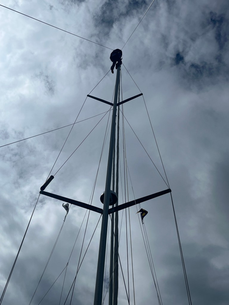
How to make use of the day: hoist Steve up the mast to put on the manual wind vane. Took 3 tries to get the right tools and an ewincher to haul Steve up/down/up/down/up/down(!) the mast. Thankfully the winds were light and the job got done.
A beautiful tradewind sky of fluffy clouds for the afternoon, and enough wind to keep the bugs away! With the sun shining we have plenty of solar so Starlink (a power hog) was accessed numerous times and we got to connect with family and friends.
Of course, the forecast had changed by 4pm and in the 5 day forecast all North winds had gone, with continuous South, SSW, SSE winds this next week. This is important as we pick anchorages based on protection from winds. The CCA guide to Labrador is a publication we use that augments the Sailing Directions publication of the Cdn Government and the hydrographic maps, providing commentary on bays/passages/harbour’s that people have been to before. The publication depends entirely on boaters providing their experiences. The most up to date is a 2023 visitor (in a 2025 publication) and with few sailors visiting Labrador, some of the comments are dated. The last commentary on Mecklenberg Harbour was from 1990. It is a great guide but there are so many inlets and bays on this coast. It deserves another season or 2!!
Friday July 15th
Away we go! On the move at 7:30am… Our target destination was 40nm north to Hawkes Harbour, an old whaling station. The winds were SSW (at least the forecast got that right) and built through the day to 20 to 25 kts, the sea state wasn’t too rollie, so we happily set sail with the main and genoa and coasted along at 7knots downwind. Sadly, the wind direction took us slightly offshore, so we ended up sailing about 5nm offshore, limiting our view of the changing coastline. Even from the distance, we can see the hills getting larger, and bays getting wider.
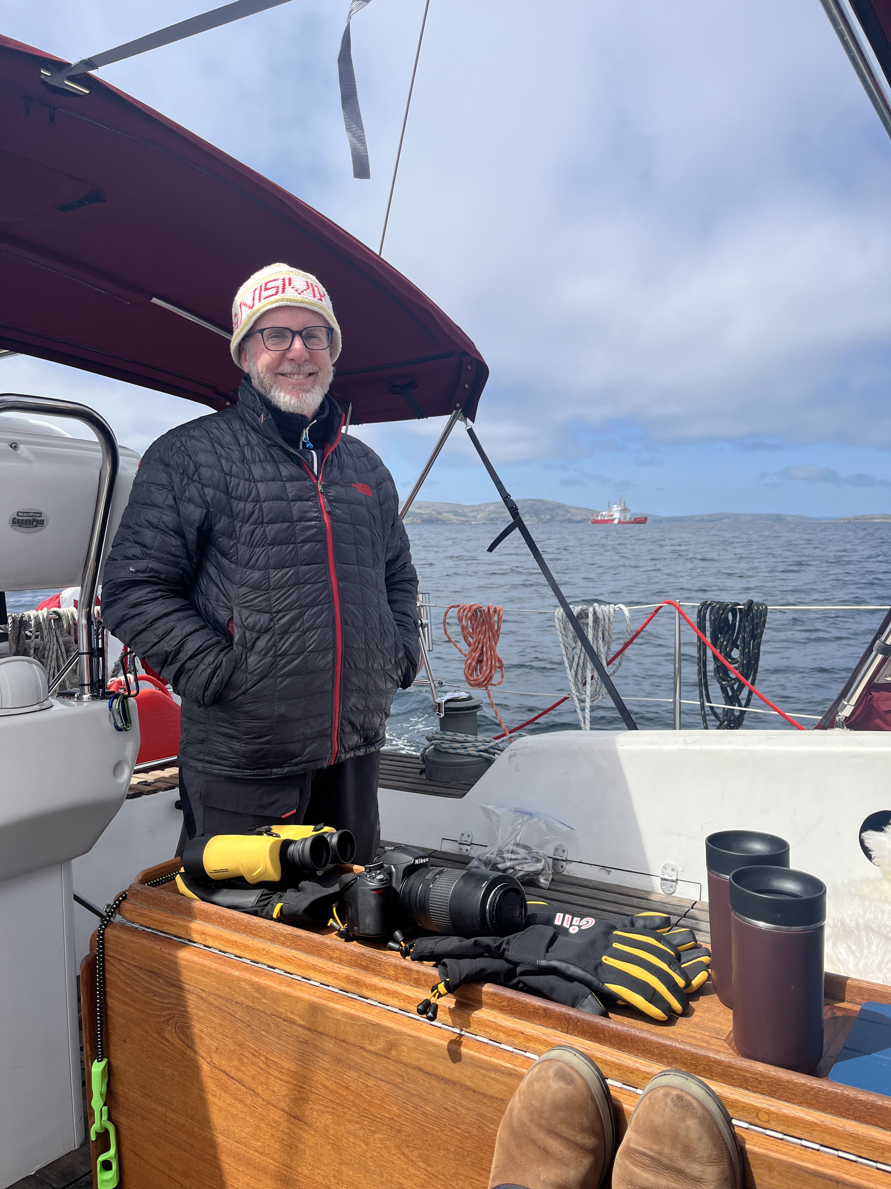
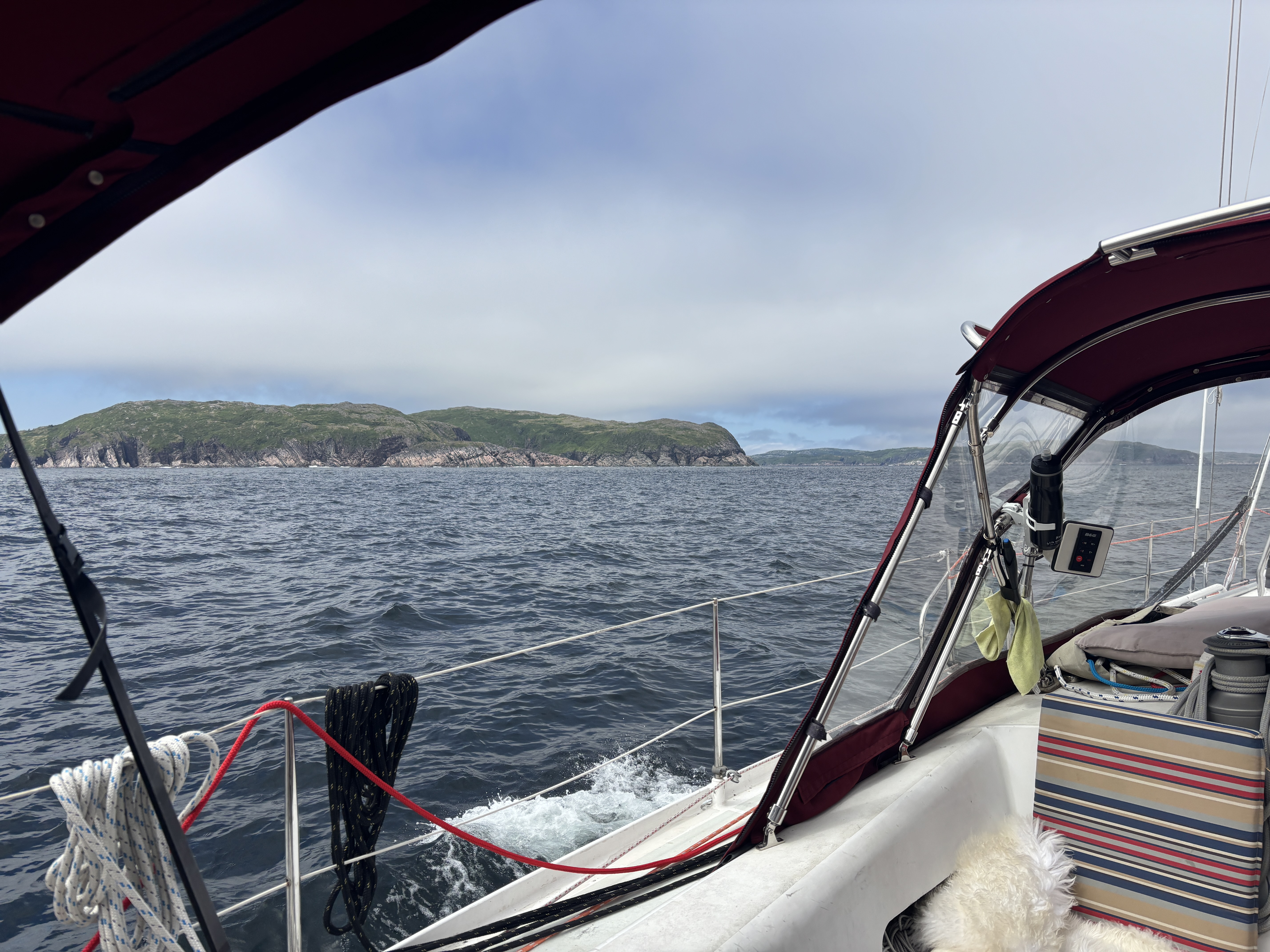
It was a sun and cloud mixed day with no sealife but a few birds – hmmmm – once again, how different this trip is. What is remarkable is how big these anchorages/bays are relative to last year. Labrador has not been a ‘cozy’ adventure. We are wearing 3 to 5 layers of clothes while on the water and the water temp is barely 5C, with wind not much warmer.
We made good time up the coast, and as we approached the entrance to the bay for Hawke Harbour, it was only 2 pm. Not to waste winds that are in our favour, we elected to go to the next stop another 20nm, Shoal Bay, and still got there at 4:00. Not in the forecast, the winds kept building and by the time we entered Shoal Bay we had to fight our way upwind into 25-30 kts (guessing from experience, as we have no wind instruments) to get to the sheltered spot. As we bore off into the west bays (still huge) the wind reduced by half and the temperature rose 15 degrees.
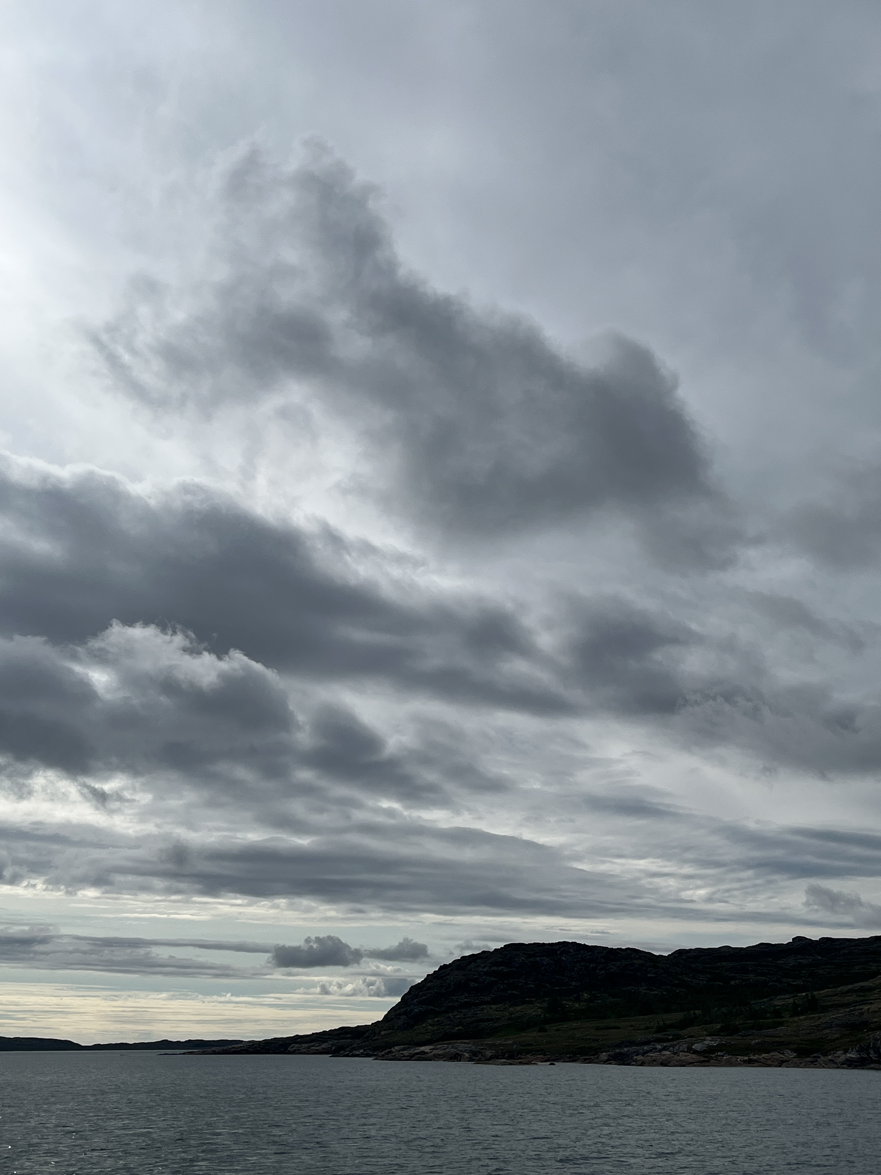
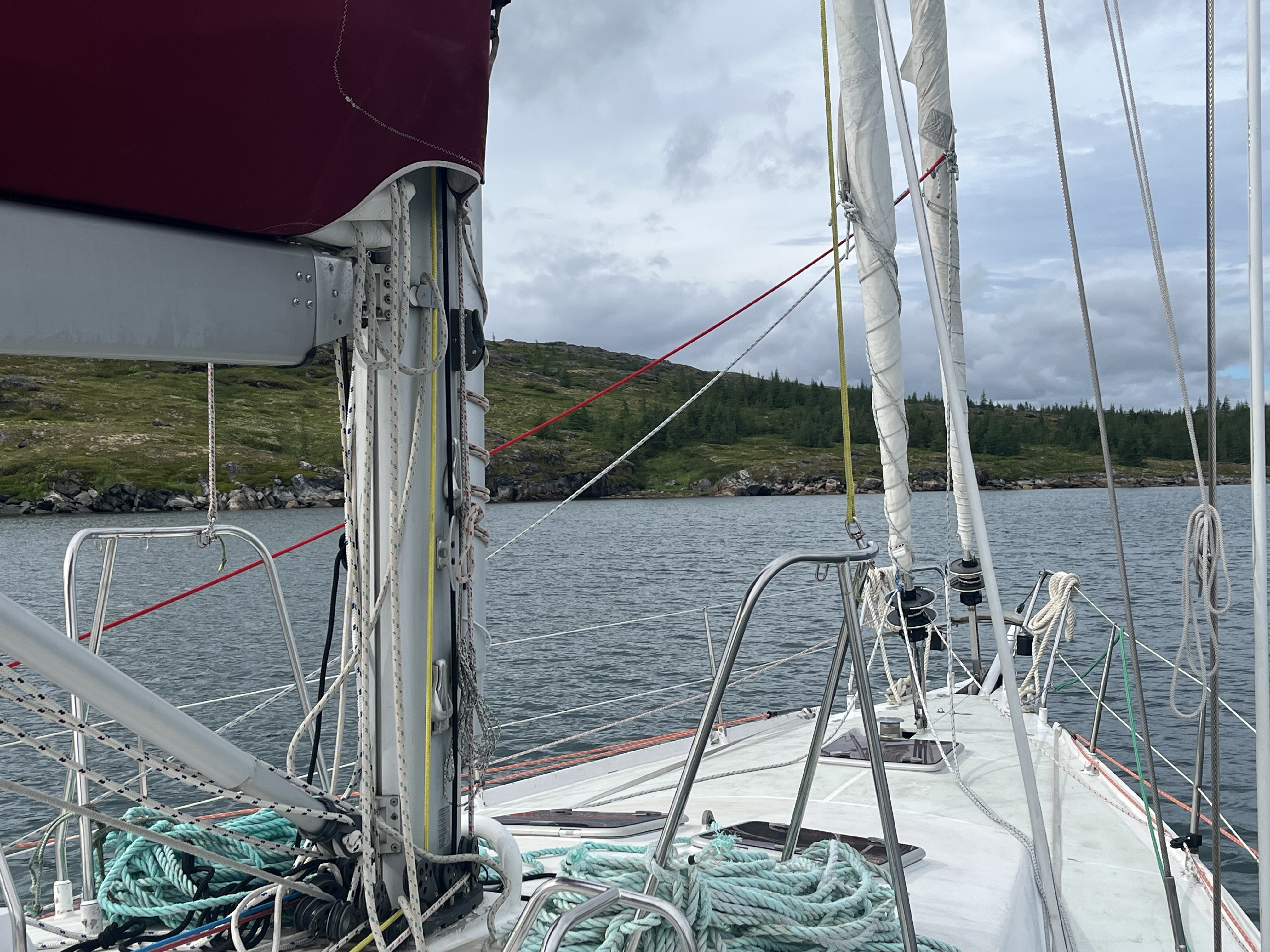
We are starting to count on “the afternoon blow” (Sou’wester at ~30kn x~2 hrs) regardless of the forecast and understand now why the CCA Cruising Guide references ‘lunch stops’. That is not something we do…but maybe we will.
Set the anchor, riding sail and drogue with no problem, and we sat on deck appreciating the warm wind and ‘bigness’ of Labrador!! Tomorrow is a ‘stretch the legs’ hike.
Given it is now the third week of July, regardless of our initial goals, we need to figure out, from a return viewpoint, the next stops and when to turn back around to get to Lewisporte, Nfld, for end of August. The weather has not really been in our favour so far this trip, so we won’t assume it is going to get better – it’s a Super El Nino year (?!).
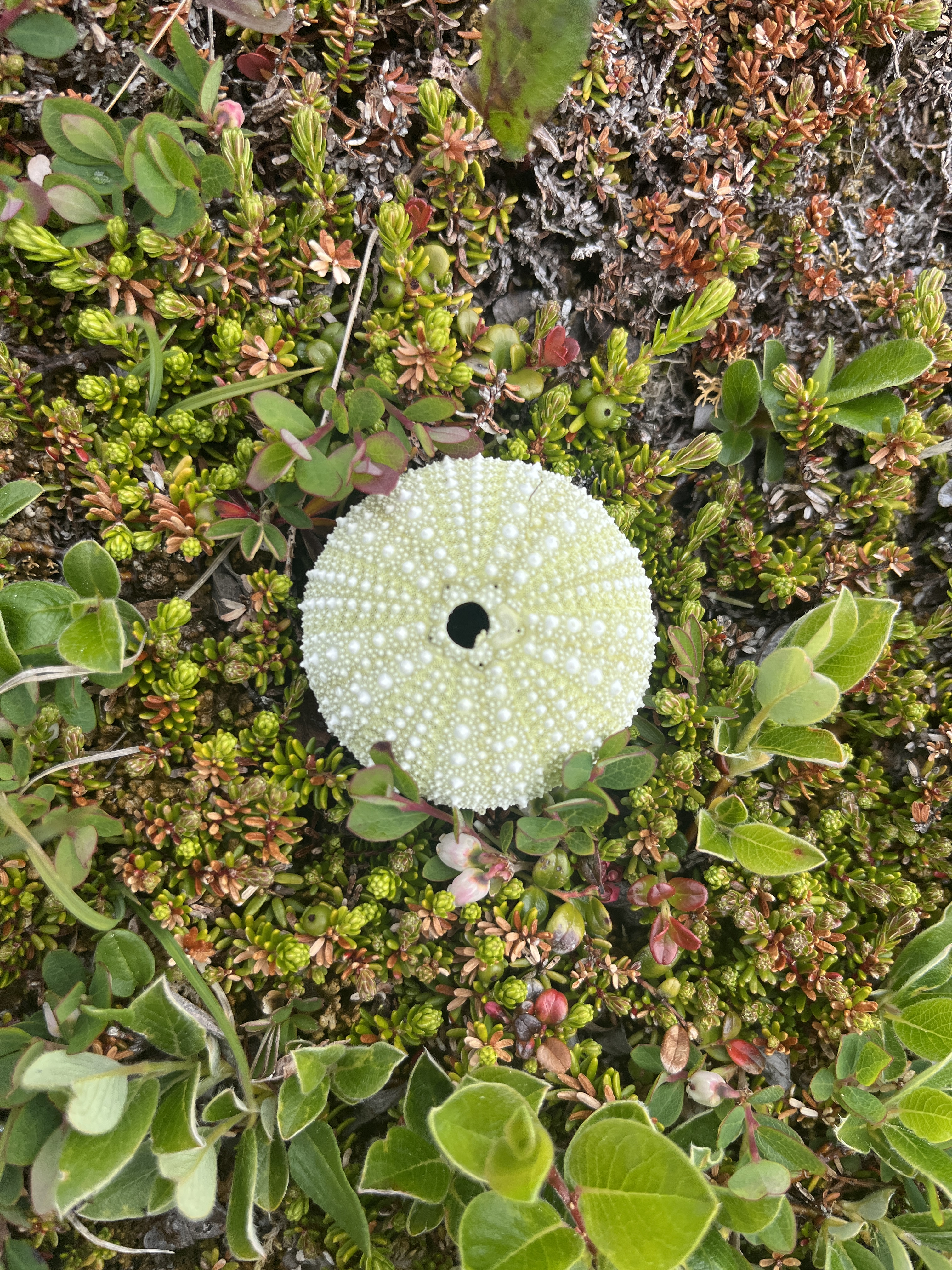
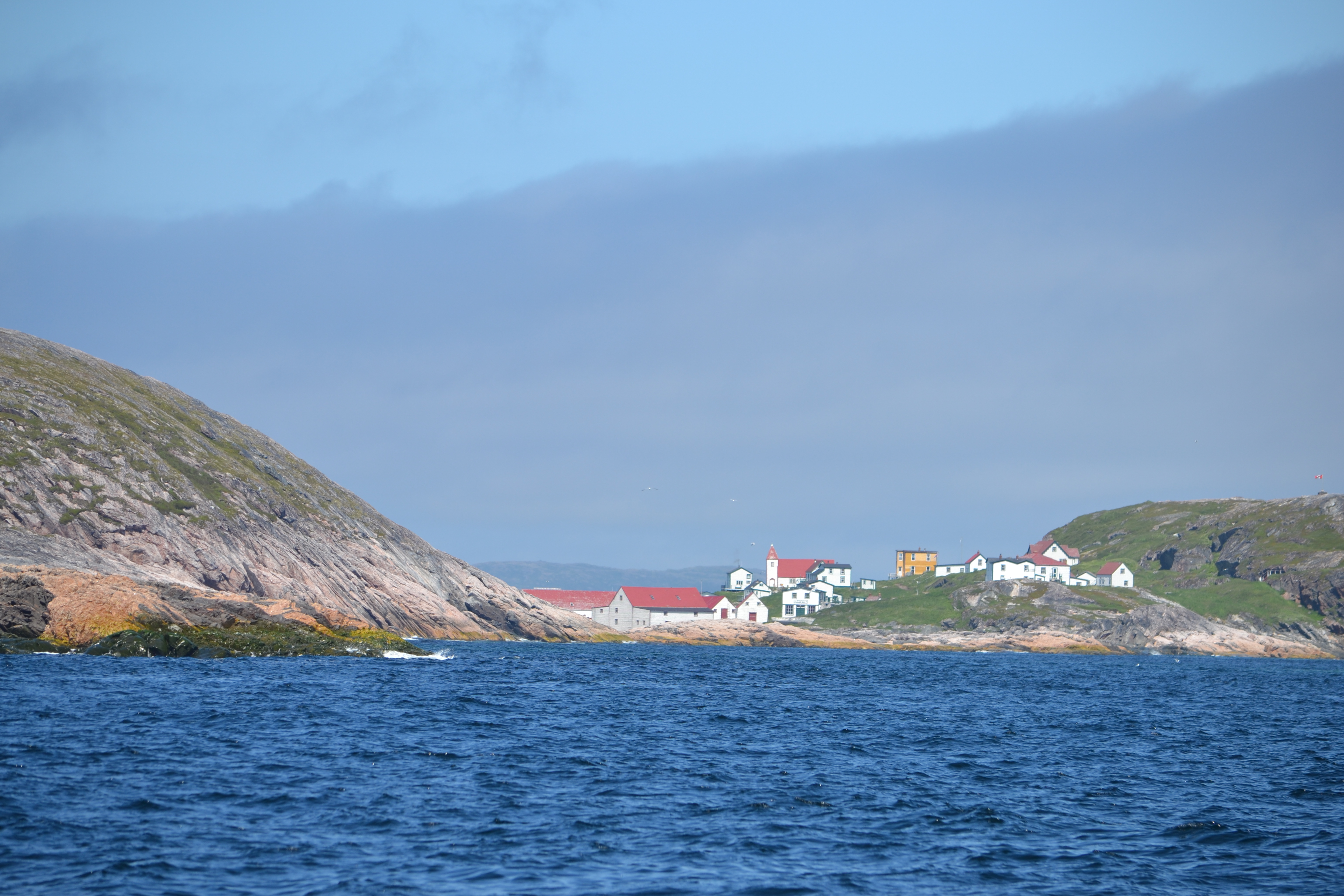
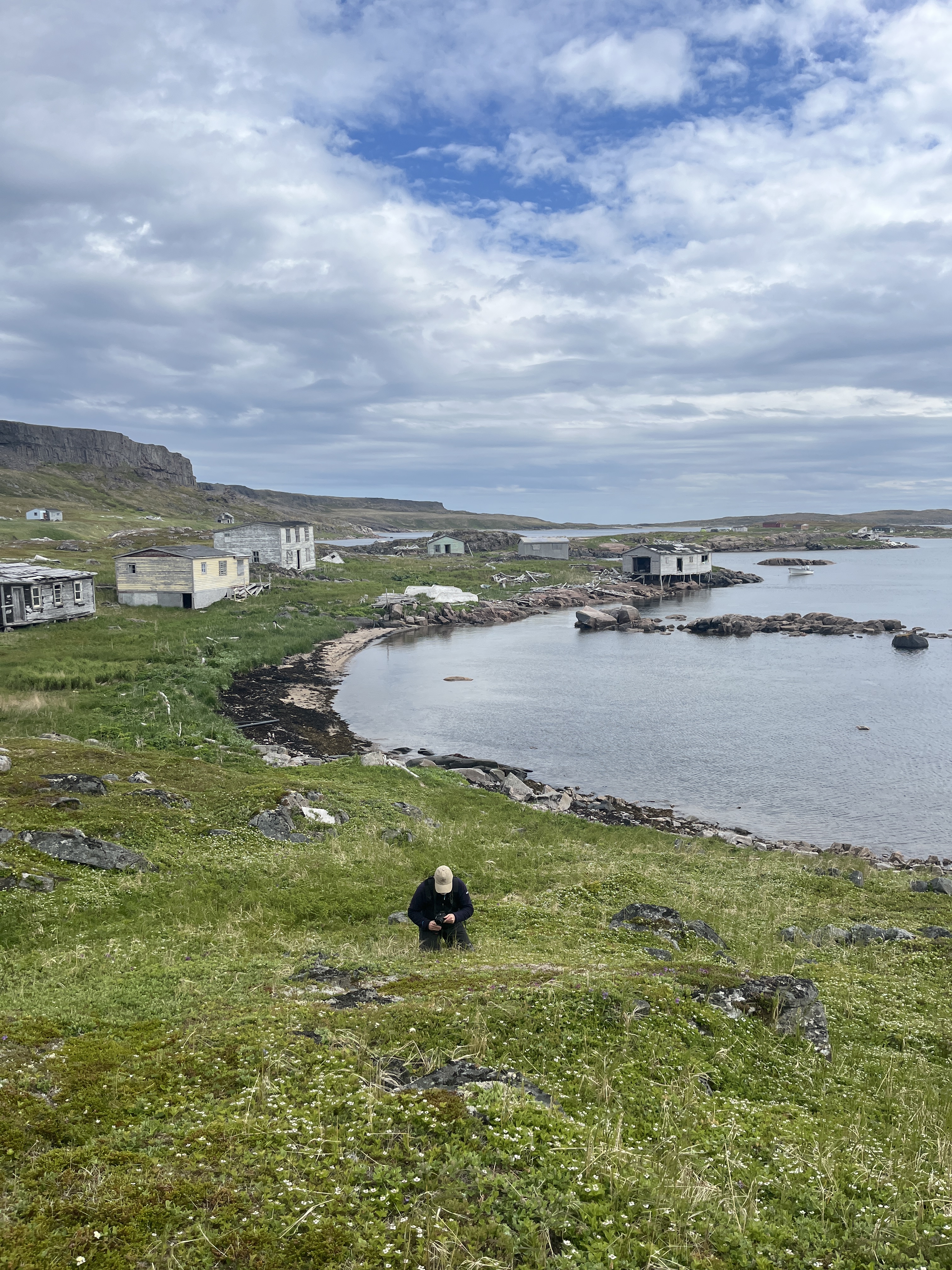
Here are a few more random pics to share:)


Leave a comment