Where are We
You can check out where we are are a couple of different ways.
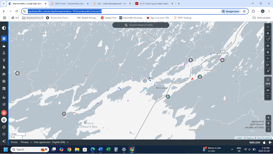
One is through marinetraffic.com, which follows our AIS signal and this requires us to be within cellular range. This will not work for us most of the summer as we explore the coast of Labrador. You can search by vessel name (we are the Canadian Tikaani) and it will show you our last position.
The other option is a Garmin SPOT Tracker which we have onboard. This will show 7 days of history and our live position – this updates every 6 hours.
When you press on the link it will default to show the complete 7 day history. For our present location just press on the ‘LIVE’ button on the screen.
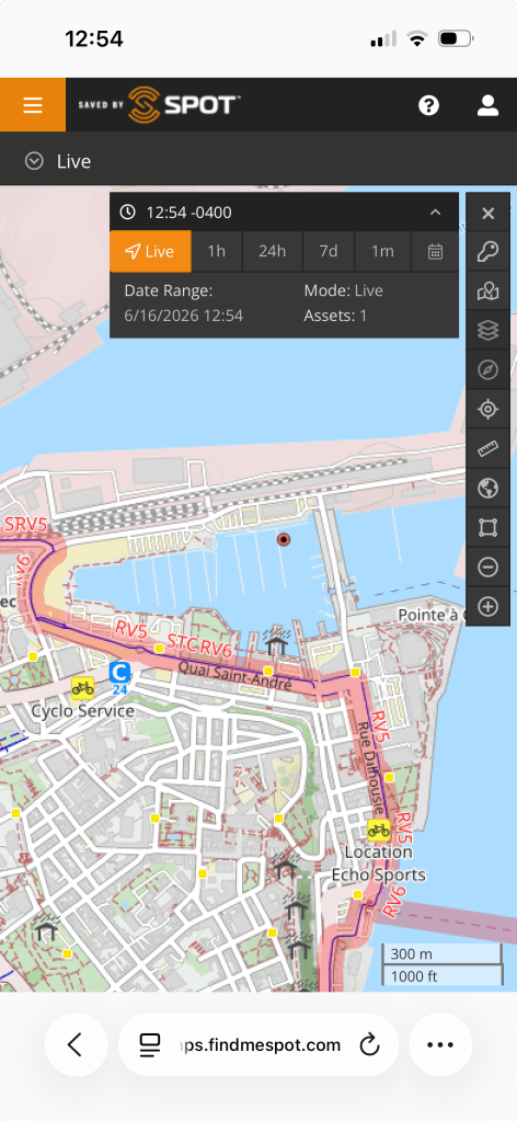
This image is from Bassin Louise Marina, Quebec City, June 16, 2026.
 Sailing Tikaani